

Changes in sea level, such as those caused by tides, can trigger earthquakes. A team led by Patricia Martínez-Garzón from the GFZ German Research Centre for Geosciences and her colleagues showed this in a recent study published in the journal Geophysical Research Letters. For this, they collected and analysed seismic data from the Sea of Marmara south of Istanbul, where a large earthquake is overdue. The seismic effects triggered by the natural fluctuations in sea level are so small that they could only be detected in the data by using new artificial intelligence and template matching methods. The fact that they occur at all with such weak triggering forces could indicate that the faults from the area analyzed in this study are close to failure – with then more earthquakes to follow. This would make such analyses an important step towards better hazard prediction.
Background: Role of long-period tides for earthquake hazard assessment
Being able to better predict the risk of earthquakes, especially in densely populated regions, is still a challenge for science. It is crucial to understand how much stress is needed to cause a fault, i.e. an existing fracture in the Earth's crust, to fail and thus generate an earthquake. A natural probe to test how the Earth responds to stress perturbations are well known quasi-periodic phenomena, for example the tidal movements of the oceans or seasonal effects such as additional water masses due to precipitation.
For decades, these effects have been studied to investigate whether such small but predictable stress changes are sufficient to trigger regular or low-frequency earthquakes. Attempts are being made to detect such effects in so-called seismicity catalogs. These are compilations of the location, origin time, magnitude and other important data on seismic events in a region, which can be used to identify earthquakes, for example.
However, the effects of quasi-periodic natural phenomena are usually very small and difficult to detect with the help of seismicity catalogues created with conventional techniques for data evaluation.
New results thanks to novel AI methods for data evaluation
High-resolution catalogs derived and analyzed with novel Artificial Intelligence (AI)-based techniques can provide a new opportunity to look for this type of earthquake triggering. AI methods are able to identify much smaller earthquakes hidden in the data. A second method for this is the so-called “template matching” from image processing: In order to identify earthquakes in the measured data, a search is made in the seismicity curves for a match with the typical curves for earthquakes. Thus, the high-resolution catalogs typically contain about ten times more earthquakes than traditional ones.
A team led by Patricia Martínez-Garzón from the GFZ German Research Centre for Geosciences in Potsdam also took advantage of this. The geophysicist heads a Helmholtz Young Investigators Research Group in Section 4.2 “Geomechanics and Scientific Drilling”. For her study, now published in the journal “Geophysical Research Letters”, she collaborated with Gregory C. Beroza, professor at Standford University (USA) and a leading global expert in AI-based techniques in seismology, as well as with Gian M. Bocchini, PostDoc at Ruhr-Universität Bochum, and with Marco Bohnhoff, head of Section 4.2 at GFZ and professor at Freie Universität Berlin.
The researchers have compiled high-resolution seismicity catalogs for a hydrothermal region south of Istanbul in the eastern Sea of Marmara. They include events of up to MW 4.5 over a six-month period, from November 2018 to May 2019. For first time in this region, they documented a strong effect of the Sea of Marmara water level changes on the local seismicity.
Seismic situation and earthquake risk around Istanbul
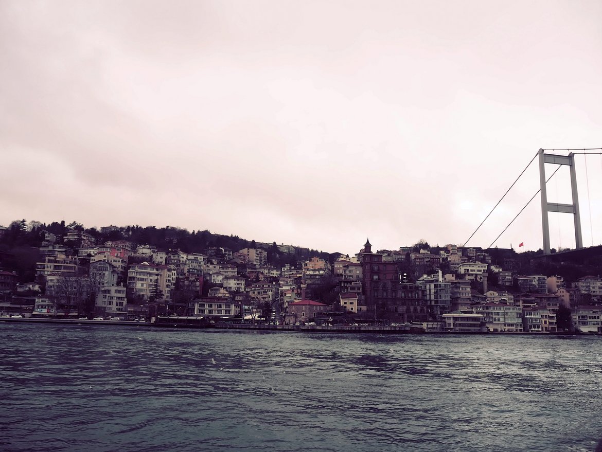
The Armutlu Peninsula is a seismically active area directly south of the densely populated Istanbul megacity with more than 16 million inhabitants. The region is part of the active North Anatolian Fault system, which is a large tectonic plate boundary known to generate destructive earthquakes which can cause large numbers of casualties. The last such major earthquake occurred in 1999 near Izmit causing almost 20,000 fatalities. The main branch of the fault runs directly between Istanbul and Armutlu and is currently identified as a “seismic gap”: it is thought to be overdue to produce a large earthquake which can be inferred from the sequence of previous events.
Data collection and evaluation
In this region, the GFZ German Research Centre for Geosciences, in collaboration with the Turkish Disaster and Emergency Management Presidency (AFAD) and the EARTHSCOPE (former UNAVCO) institution from USA operates a Plate Boundary Observatory GONAF that provided the data for the present study: Seven 300-metre-deep wells are equipped with seismometers and four 100-metre-deep wells are equipped with strainmeters.
To create the high-resolution catalogs, GONAF's seismic records were analysed using next-generation AI techniques, including certain Deep Learning techniques based on artificial neural networks. This was inspired, among other things, by Gregory C. Beroza extended visit to the GFZ as part of his 2021 Humboldt Award. This has led to a wealth of new results – the first published now.
Results: Sea level rising from tides promote seismicity
“With the high-resolution seismicity catalogs, we document – for first time in this region – a strong effect of the Sea of Marmara tidal water level changes on the local seismicity”, says Patricia Martínez-Garzón. Such a relationship is typically weak – the sea level varies by only 0.8 meters – and difficult to spot, with only few reference observations worldwide. “Both our high-resolution catalogs show that local seismicity rates are significantly larger during time periods shortly after local sea level minima, when the sea level is rising,” explains Martínez-Garzón. These effects were not visible in the comparable conventional catalogs.
Furthermore, the results of the analyses can help to estimate which stress changes are sufficient to activate the local faults and trigger quakes. “If such small stress perturbations from sea level changes are enough to trigger seismicity, it may suggest that the local faults in Armutlu are very close to failure,” concludes Martínez-Garzón.
Outlook
Whether this effect holds in a decadal scale or whether it was a temporary effect remains to be investigated. Gregory C. Beroza, co-author of the study, states: “We need to extend the improved catalog in time – both earlier and more recent – to determine whether this correlation is persistent, or whether it is changing with time, which could illuminate trends in the fault towards eventual failure”.
A further exploration of these topics is part of Martínez-Garzón’s recently awarded ERC Starting Grant QUAKEHUNTER. In particular, it will be explored if indeed a fault is more susceptible to trigger seismicity from tidal effects when it approaches the end of its seismic cycle.
Funding:
Dr. Martínez-Garzón is funded by the Helmholtz Young Investigators Group SAIDAN: Seismic and aseismic deformation in the brittle crust. Prof. Beroza acknowledges funding for his stay at GFZ within his Humboldt Award. GONAF is part of the GFZ Plate Boundary Observatory initiative and was co-funded by German, Turkish and US agencies as well as from the International Continental scientific Drilling Programme ICDP that is based at GFZ Potsdam.
Original study: Martínez-Garzón, P., Beroza, G. C., Bocchini, G. M., & Bohnhoff, M. (2023). Sea level changes affect seismicity rates in a hydrothermal system near Istanbul. Geophysical Research Letters, 50, e2022GL101258. https://doi.org/10.1029/2022GL101258


![[Translate to English:] Hörsaal](/fileadmin/_processed_/e/6/csm_H%C3%B6rsal_f1d7c412b9.webp "[Translate to English:]")


