

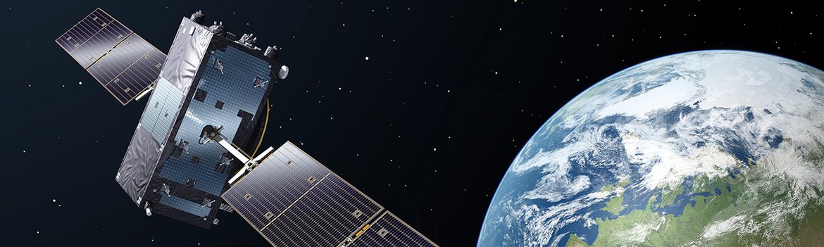
The European satellite navigation system Galileo continues to grow. On 25 July 2018, four more satellites will be launched on board of an Ariane 5 rocket from Kourou Space Center in French Guiana. If commissioning is successful, a total of 26 satellites will then be available. Thus, the system has come a full step closer to being fully equipped with 30 satellites (including six backup satellites).
The GFZ participates in the precise positioning within the framework of the Galileo Reference Service Provider. "Among other things, we contribute to the calculation of satellite orbits and therewith help determine the coordinate reference frame where users position themselves in," says Benjamin Männel from GFZ section Space Geodetic Techniques.
The satellite orbits run at around 20,000 kilometres altitude. For a sound determination of locations, however, the position of the spacecraft as well as its deviation from an ideal circular shape need to be known precisely. Deviations are caused, for example, by tides, the gravitational field of the Earth, its ellipsoid shape, and the radiation pressure of the sun which has several effects on the spacecrafts. The GFZ is part of a consortium that determines the Galileo satellite orbits as well as other parameters for the Galileo Control Center. Other partners include the University of Bern, the European Space Operations Center (ESOC), the Federal Agency for Cartography and Geodesy (BKG), and the Institute for Information Technology and Forestry (IGN, Paris).
"Over the past two decades, GFZ has significantly improved the modelling of satellite orbits and GPS satellites in particular," says Männel. Today, it is possible to calculate the Galileo orbits down to a few centimeters scale and make them available to the satellite operator for internal validation.
Accuracy is crucial for the users. According to Männel about three meters accuracy are achieved today - similar to that of the US system GPS. "However, previous studies show that the European system seems to be a bit more precise." A prerequisite for a precise positioning is a connection to at least four satellites. "Galileo works with the L-band," the scientist explains. The signals can pass clouds, buildings or leaves on trees are, however, problematic. "The rule of thumb is that in order to make the positioning work, you need to be able see a bit of sky." This is probelmatic sometimes, especially in urban areas or forests. Here, the use of various global satellite navigation systems (GNSS) proves to be helpful: In addition to GPS, these include the Russian GLONASS or the Chinese BeiDou. As part of the International GNSS Service, the GFZ provides precise satellite positions free of charge for all navigation satellite systems. (rn)
Contact:
Dr. Benjamin Männel
Space Geodetic Techniques
Helmholtz Centre Potsdam
GFZ German Research Centre for Geosciences
Telegrafenberg
14473 Potsdam
Phone: +49 331 288-2815
Email: benjamin.maennel@gfz-potsdam.de
Josef Zens
Media and Commuications
Helmholtz Centre Potsdam
GFZ German Research Centre for Geosciences
Telegrafenberg
14473 Potsdam
Phone: +49 331 288-1040
Email: josef.zens@gfz-potsdam.de


![[Translate to English:] Hörsaal](/fileadmin/_processed_/e/6/csm_H%C3%B6rsal_f1d7c412b9.webp "[Translate to English:]")


