

![[Translate to English:] Start des PRETTY-Kleinsatelliten](/fileadmin/_processed_/5/e/csm_csm_20231201-kachel_Vega-VV23-launch_ESA-CNES-Arianespace_e5bb736bb0_4bbc6e3192.jpg)
![[Translate to English:] PRETTY-Satellit](/fileadmin/_processed_/5/4/csm_csm_PRETTY-Satellit_2023_in_der_Thermo-Vakuum-Kammer_von_Beyond_Gravity_in_Wien_9ec7cad271_b2022f630e.jpg)
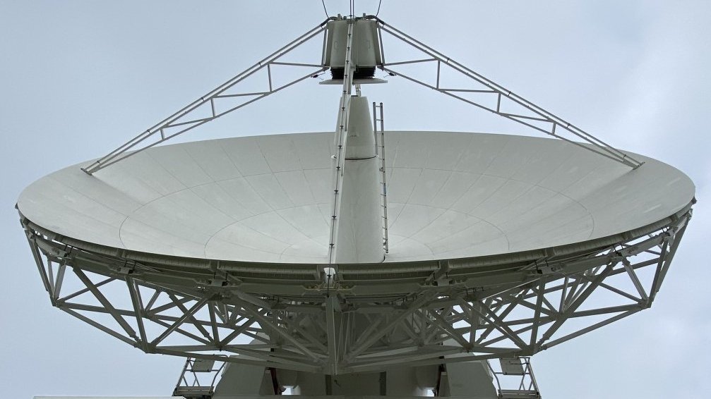
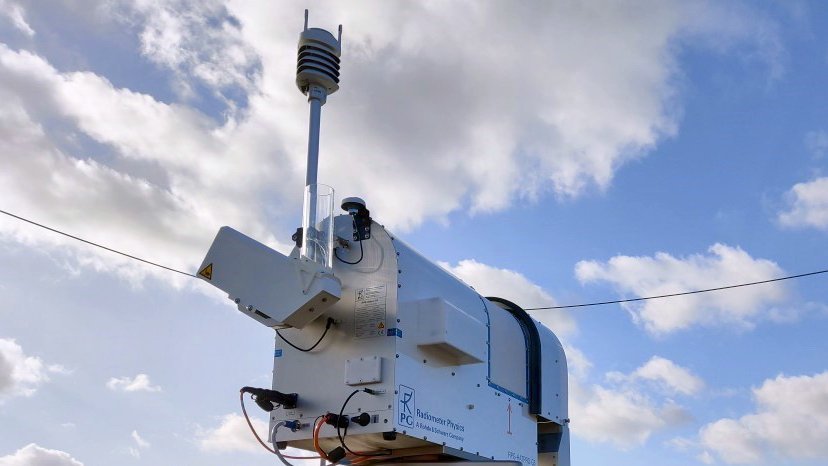
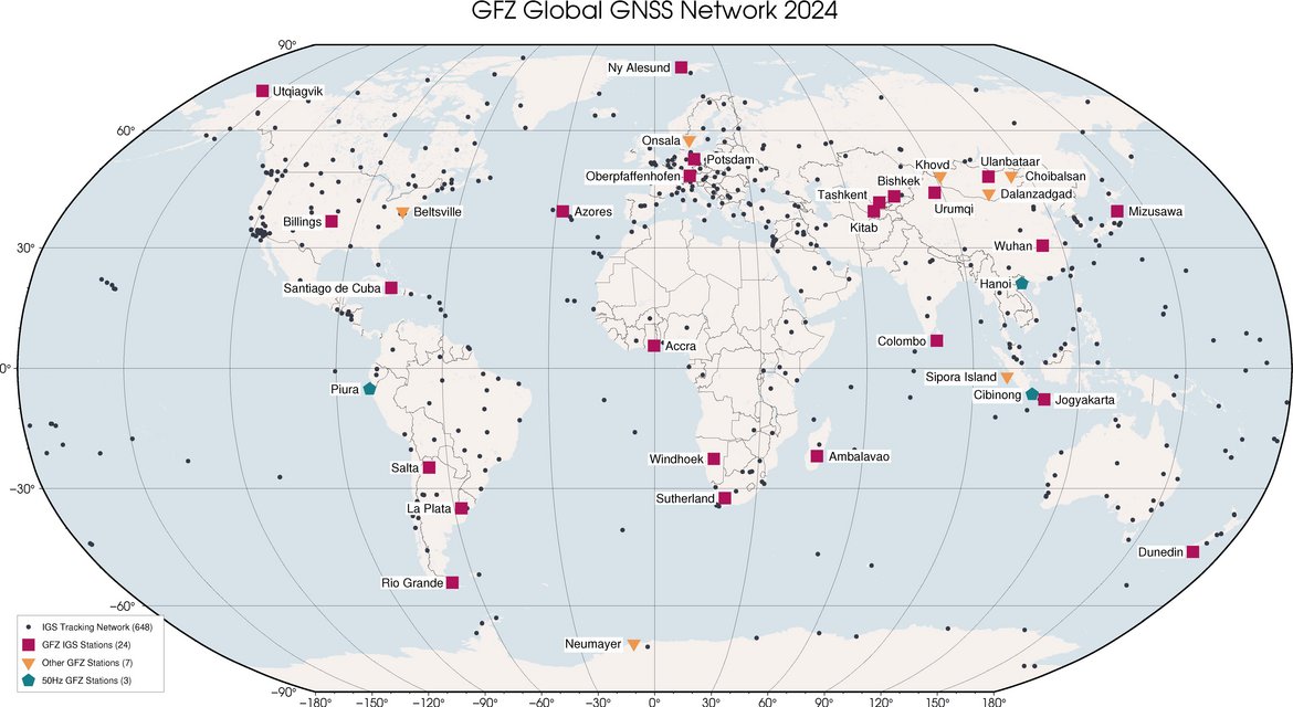
Our research focuses on the further development and geoscientific applications of Global Navigation Satellite Systems (GNSS) for the comprehensive observation of the complex Earth system. To this end, we operate more than 100 globally distributed GNSS ground stations and dedicated GNSS receivers on Low Earth Orbiting (LEO)- satellites. Additionally, we utilize extensive international observation infrastructures. This spectrum is complemented by work on Very Long Baseline Interferometry (VLBI), primarily to determine the terrestrial and celestial reference frame and the Earth Orientation Parameters (EOP) as fundamental geodetic data products. This enables us to significantly contribute to various GFZ research topics (atmosphere, ocean/cryosphere, natural hazards, landscape development as well as the MESI scientific infrastructure.
Our geoscientific GNSS applications are incredibly diverse. For example, we can precisely determine the geometric changes of the Earth’s surface within millimeters aiding accurate tracking of continental plate movements. Such measurements in real-time also play a crucial role in early warning systems for natural disasters. By analyzing GNSS signals modified when passing through the Earth’s atmosphere or reflected off its surface, we determine temperature, water vapour, electron density and properties of ocean, land and ice surfaces. Our data are used on a daily basis to improve weather forecasts and contribute to the Global Climate Observing System.
We are firmly integrated in an international environment with numerous interdisciplinary cooperation partners from research, education and industry as well as international organisations and research programmes.
![[Translate to English:] erdrotation](/fileadmin/_processed_/f/4/csm_csm_20240715_PM_Polbewegung_Heinkelmann_Schuh_Antarktik_web_-c-AdobeStock_581876930_3143f71649_c52d181cec.webp)


![[Translate to English:] Meteorologisches Observatorium in Payerne, Schweiz](/fileadmin/_processed_/5/8/csm_20240313_gruan-mtg-lowres_0400108740.webp)
![[Translate to English:] Verabschiedung HS](/fileadmin/_processed_/6/e/csm_csm_20240229_Personalia_Verabschiedung-Schuh_BB0A9646_spi_930b28a03a_51169adfdb.webp)
Meetings
- Geo.X “Grow your idea” Workshop on GNSS Reflectometry, GFZ, 26-27 Nov 2024
Past Meetings:
- GGOS Days 2024 & GGOS Focus Areas Topical Meeting, Potsdam, 7-11 Oct 2024
- 13. Deutsche Klimatagung, Potsdam, 12-14 March 2024 (information only in German)
- 2nd International IAG Commission 4 Symposium, GFZ, 5-8 September 2022
- D4G 2022 Workshop (1st Workshop on Data Science for GNSS Remote Sensing), GFZ, 13–15 June 2022
- VCAIS 2018
- GNSS+R 2015 Workshop
- GNSS4SWEC Summer School 2016

