Geographic Information Systems, ‚GIS‘, collect, manage, and analyse spatial data. Applications range from creating printed maps for surveying to interactive maps in 2D, 3D or 4D for the visualisation of geodata like terrain structures, elevation models or climate-related data and their changes over time. Since 1999, once a year at GIS Day events are held around the world to make the public enthusiastic about GIS.
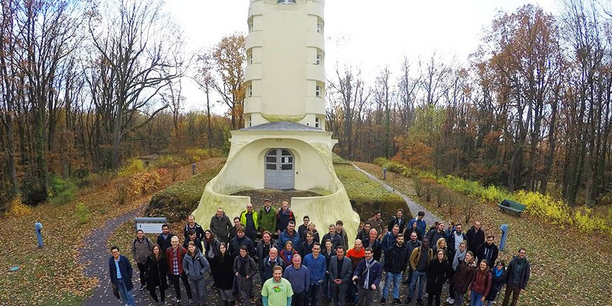
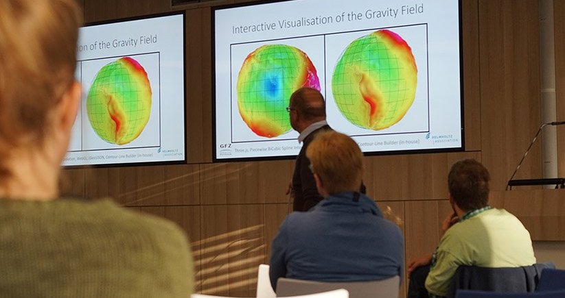
The Telegrafenberg has also participated for the sixth time now. Last Wednesday, GFZ and Potsdam Institute for Climate Impact Research PIK, and ESRI Germany organized a GIS Day event together, with workshops, lectures, and awards. The participants from industry, administration, research, and universities came from all over Germany. Antonia Cozacu, GFZ eScience Center and co-organizer: "The GIS Day was well attended, the contributions were varied, the workshops were praised, and in the end there were satisfied awardees. Overall, it was a successful day."
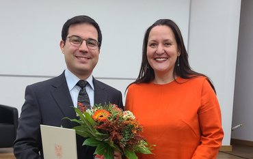
The prizes were awarded for the three best lectures by vote of the audience. The first prize went to Danijel Schorlemmer from GFZ section Seismic Hazard and Risk Dynamics for his presentation entitled "Dynamic Exposure with OpenStreetMap Data". (ak)



![[Translate to English:] Torsten Sachs in front of a climate station on a field](/fileadmin/_processed_/3/9/csm__TorstenSachs_bearbeitet_GS_4a1365ef84.jpeg)
![[Translate to English:] left image flood at the Ahrtal: image from above, several houses are flooded; left image:: Heidi Kreibich;](/fileadmin/_processed_/4/4/csm_Bild2_9af0130e9f.png)
![[Translate to English:] Start der Vega Rakete](/fileadmin/_processed_/6/4/csm_20231201-kachel_Vega-VV23-launch_ESA-CNES-Arianespace_706716b68c.jpeg)


![[Translate to English:] Poster exhibition at the Brandenburg Hydrogen Day at the GFZ, some participants in the foreground](/fileadmin/_processed_/6/5/csm_Erster_Brandenburgischer_Wasserstofftag_GFZ_402fcec95e.jpeg)
![[Translate to English:] Group picture of the participants](/fileadmin/_processed_/9/4/csm_20231108_CAWa-Workshop-Tashkent_Gruppenbild_99ea779d8a.jpeg)
![[Translate to English:] [Translate to English:] Hörsaal](/fileadmin/_processed_/e/6/csm_H%C3%B6rsal_e21ac645fb.jpeg)
![[Translate to English:] The Delegations in the Historic Library on the Telegrafenberg. In the back there are from left to right, the Dutch Ambassador for Germany, Ronald van Roeden, the Dutch Minister for Education, Culture and Science, Robbert Dijkgraaf and the scientific director of the GFZ, Susanne Buiter.](/fileadmin/_processed_/d/b/csm_Kachel-2_9eba4b4212.jpeg)
