

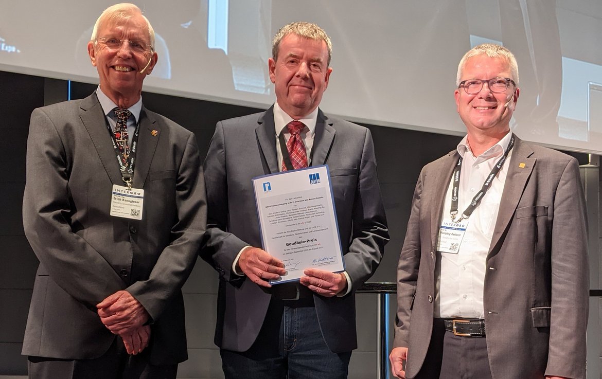
The "DVW e.V. - Gesellschaft für Geodäsie, Geoinformation und Landmanagement" (German Society for Geodesy, Geoinformation and Land Management), together with the Nico Rüpke Foundation Hamburg, awards an annual prize for an outstanding technical article in the scientific journal "zfv - Zeitschrift für Geodäsie, Geoinformation und Landmanagement". The article "GNSS Remote Sensing at GFZ: Overview and Recent Results" was selected as the best contribution for the period May 2020 - April 2021. 18 scientists from the 'Space Geodetic Techniques' section at GFZ, the German Aerospace Center, the German Meteorological Service and the University of Potsdam, under the leadership of Prof. Jens Wickert, have jointly elaborated the report for the journal.
The award-winning paper presents a selection of the GFZ's diverse current research activities on the use of Global Navigation Satellite Systems (GNSS) for remote sensing and Earth system research. In the last two decades, these methods have developed into a powerful and versatile tool, especially for weather and climate research, which can cover different spatiotemporal scales.
The regional and global GNSS ground networks and numerous receivers on low-flying satellites provide unique neutral and ionized atmosphere data and Earth surface parameters. One of the leading institutions in these developments is the GFZ German Research Centre for Geosciences in Potsdam.
The prize was awarded to Prof. Wickert on behalf of the team of authors on 21 September 2021 during INTERGEO, a longstanding specialist exhibition and conference for geodesy, geoinformation and land management. The prize money of 3,000 euros is provided by the Nico Rüpke Foundation. The foundation, which was established in 1992, is committed to promoting science and research as well as educational measures in geodesy and geoinformatics in an unbureaucratic manner.


![[Translate to English:] Hörsaal](/fileadmin/_processed_/e/6/csm_H%C3%B6rsal_f1d7c412b9.webp "[Translate to English:]")


