


Our aim is to improve the understanding of geodynamic processes operating inside the solid Earth and their surface manifestation at a broad range of spatial and temporal scales through advanced numerical modeling. Our research focii are located at both plate boundaries and within the plate interiors, inside the deep mantle and at the surface. We constrain our models by multidisciplinary surface observations acquired by the GFZ and the international scientific community and look for practical applications of fundamental research, like tsunami early warning and hazard assessment. To approach our aims, we develop our own numerical methods and tools, but also extensively employ and co-develop numerical techniques provided by the international community.


![[Translate to English:] Dieses Fotot zeigt Menno Fraters.](/fileadmin/_processed_/1/f/csm_menno_fraters_scaled-1_6408ba7ad1.webp)


Rift and Rifted Margins Online Seminar

This international seminar series is open to anyone interested in rifts and rifted margins. It started in 2020 and is currently organised by Sascha Brune (GFZ Potsdam), Kim Welford (Memorial University of Newfoundland), Folarin Kolawole (Columbia University, New York), Derek Keir (Univ. of Florence), Gwenn Péron-Pinvidic (NTNU Trondheim) and Lydia Olaka (Technical University of Kenya).
Each seminar session is setup as a one-hour Zoom Meeting with 3 short talks (13-15 min) belonging to one scientific topic. There will be 3-5 minutes of open discussion after each talk. The seminar takes place on Monday 16:00 CEST every first Monday of each month with the same format but on a different topic.
Live meeting attendance links and session schedules are distributed through a dedicated webinar mailing list. To receive updates, simply subscribe at https://www.listserv.dfn.de/sympa/subscribe/riftwebinar.
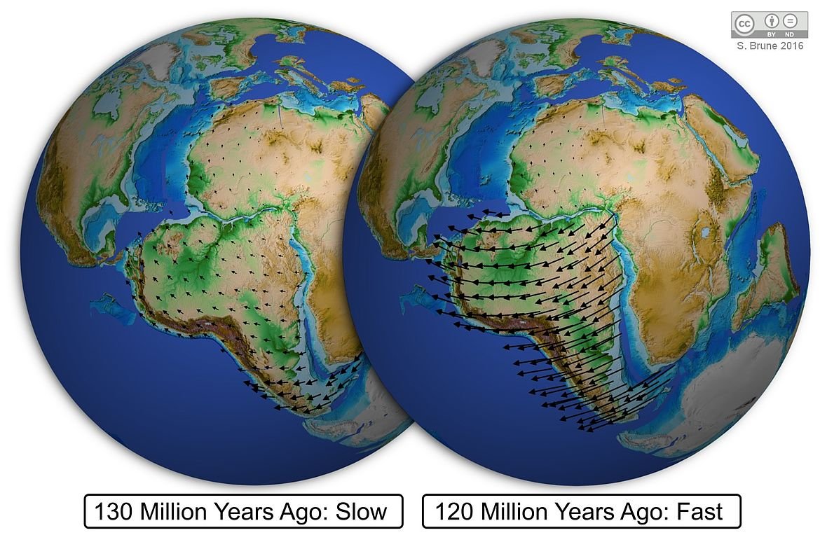
Dynamics of Early Earth and Evolution of Plate Tectonics

Plate tectonics is the most important geological process on Earth, shaping its surface, and making it unique among the planets in the Solar System. Yet, how plate tectonics emerged on Earth, which tectonic regime was before and which factors controlled evolution of plate tectonics in the Earth history remain controversial. We address these questions in the framework of the ERC Synergy Grant Project MEET (Monitoring of Earth Evolution through Time) using numerical modeling to test various geodynamic hypotheses with new geochemical data.
Webpage of working group Dynamics of Early Earth and Evolution of Plate Tectonics
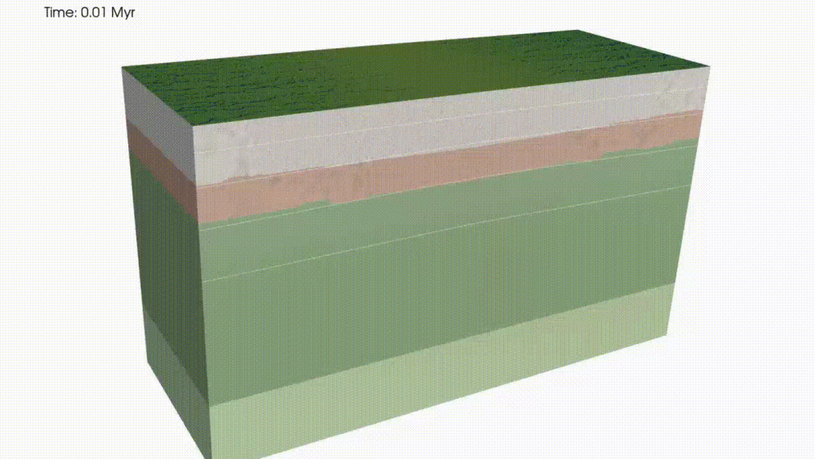
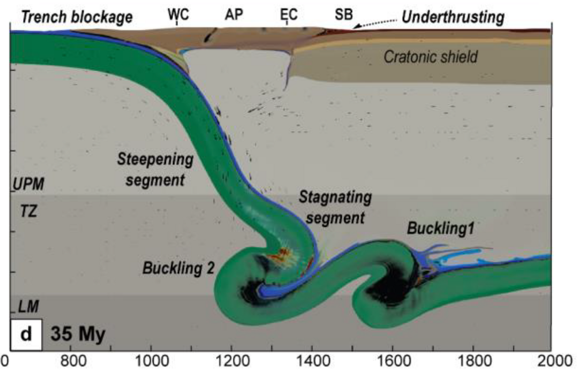
Global Geodynamic Modeling

The Earth's mantle behaves like a very viscous liquid over extended geological periods. Cold earth plates sink from the surface to the core-mantle boundary, and hot material rises from there in the form of mantle plumes and as large-scale upwellings. By numerical modeling with different observation data, in particular from seismology, geodesy and mineral physics as boundary conditions, we try to better understand processes in the Earth's interior. In particular, we investigate the following topics:
Webpage of working group Global Geodynamic Modeling
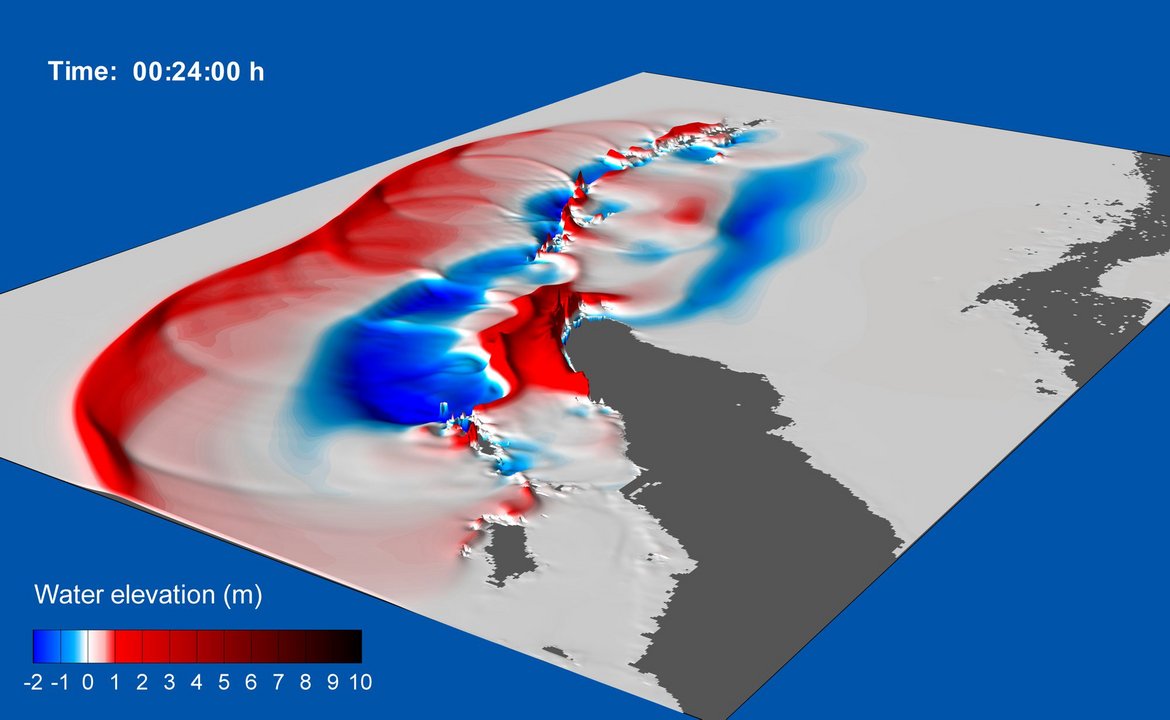
Tsunami Hazard Assessment and Early Warning
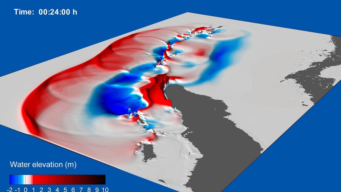
Tsunami research at GFZ is dated back to the Great December 2004 Sumatra earthquake and Indian Ocean tsunami that collected more than 230,000 death toll and triggered numerous worldwide initiatives to increase society preparedness and resilience against tsunamis. In 2005 GFZ took a leadership position in the consortium of German institutions aiming to build, in cooperation with Indonesian partners, a new generation Tsunami Early Warning System for the Indian Ocean – GITEWS. Several GFZ Sections were involved into this process, including Section 2.5 “Geodynamic Modeling” whose activity was dedicated to the modeling aspects of the GITEWS.
Since that time, Section 2.5, through its Working Group “Tsunami Hazard Assessment and Early Warning”, has participated in international efforts on different stages of the tsunami risk governance cycle: from understanding and evaluating the hazard to early warning and capacity building.
Webpage of Tsunami Hazard Assessment and Early Warning

