

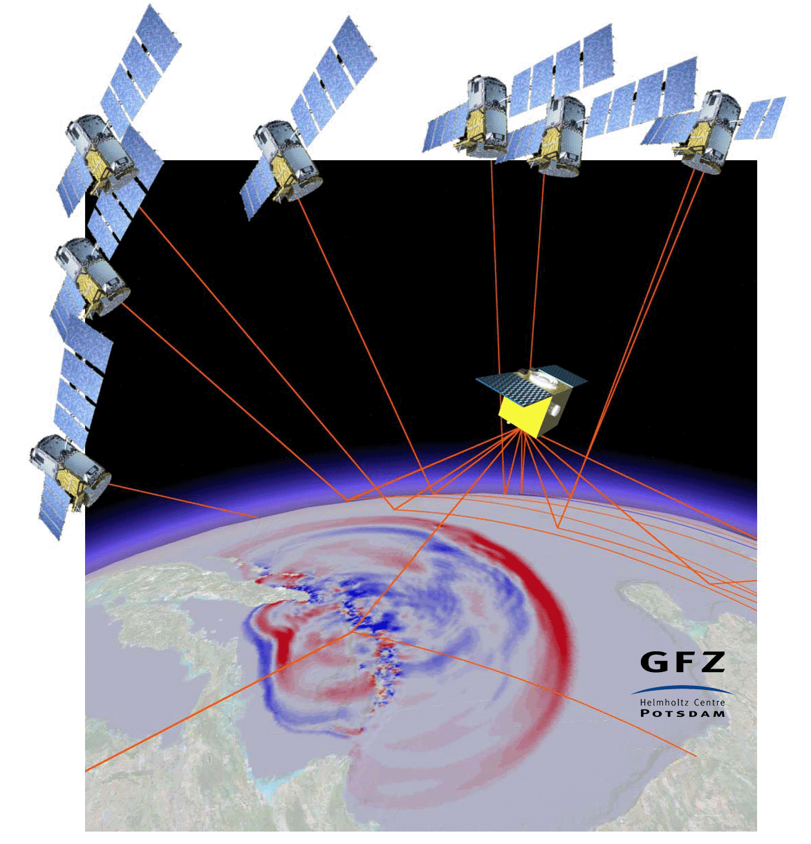
The term GNSS Reflectometry (GNSS-R) comprises various remote sensing techniques. GNSS-R exploits reflected navigation satellite signals from water, ice or land surfaces. Fundamental geophysical properties of the reflecting surfaces can be derived, as, e.g., altimetric heights, soil moisture or roughness, which can be, e.g., correlated with wind velocity and direction above water. The spectrum of applications is manifold and includes, e.g., weather forecast and climate research [1].
In the GFZ section Space Geodetic Techniques we work since more than 15 years on the development of the innovative GNSS-R remote sensing techniques. These activities were started with the detection of reflected signals in GPS radio occultation data, e.g., of the CHAMP satellite. Supported by the GITEWS project (German Indonesian Tsunami Early Warning System) these investigations were extended with first successful ground based experiments and studies related to future satellite based tsunami early warning systems [2]. In addition to the extension of ground based measurements [3] and the analysis of reflectometry observations from flight platforms, as Airship, Aircraft and UAV, [4, 5] we focus at the moment intensely on the satellite based application for global Earth Observation. Examples for this are studies related to the application of GNSS-R aboard small satellites or at the International Space Station ISS within the GEROS-ISS [6] experiment of the European Space Agency ESA. Additional key activity is the G-TERN proposal [7] for a GNSS-R Mission within the Earth Explorer 9 programme of ESA.
Current Research
- Arctic GNSS Ice Detection (ArGID)
- Artificial Intelligence for GNSS Reflectometry (AI4GNSSR)
- Assessment of Snow and Ice Reflections with In-Situ data (ASIRIS)
- Atmospheric model for GNSS reflectometry (AMGr)
- GNSS Receiver for Occultation, Reflectometry and Scatterometry (GORS)
- GNSS Transpolar Earth Reflectometry moNitoring system (G-TERN)
- Ocean and Atmosphere
- GNSS Remote Sensing aboard small satellites
- Space-based sea-ice observation with GNSS Reflectometry
- Soil moisture from reflected GNSS signals
- Water Stress Monitoring using GNSS Reflected Signals (Warm-Green)
[1] Wickert J., A. Egido, G. Elgered, S. Fuller, M. Gauss, R. Jongman, C. Martin-Puig, P. Monks, Novel GNSS applications for GEEO and GEOSS, Public Report of the GfG² project, European Union, FP7-ENV-2010 GA No. 265098, pp. 43, 2012.
[2] Stosius, R. Beyerle, G.; Hoechner, A.; Wickert, J.; Lauterjung, J., The impact on tsunami detection from space using GNSS-reflectometry when combining GPS with GLONASS and Galileo on GNSS-Reflectometry tsunami detection from space. Advances in Space Research, 47, 5, 843-853, doi: 10.1016/j.asr.2010.09.022, 2011.
[3] Vey, S., Güntner, A., Wickert, J., Blume, T., Ramatschi, M.: Long-term soil moisture dynamics derived from GNSS interferometric reflectometry: a case study for Sutherland, South Africa. - GPS Solutions, 20, 4, p. 641-654, doi:10.1007/s10291-015-0474-0, 2016b.
[4] Semmling, A. M.; Wickert, J.; Schön, S.; Stosius, R.; Gerber, T.; Markgraf, M.; Ge, M. & Beyerle, G. A zeppelin experiment to study airborne altimetry using specular Global Navigation Satellite System reflections, Radio Science, 2013, 48, 427–440, 2013.
[5] Semmling, A. M.; Beckheinrich, J.; Wickert, J.; Beyerle, G.; Schön, S.; Fabra, F.; Pflug, H.; He, K.; Schwabe, J. & Scheinert, M. Sea surface topography retrieved from GNSS reflectometry phase data of the GEOHALO flight mission Geophysical Research Letters, 2014, 41, 954-960
[6] Wickert, J., et al., GEROS-ISS: GNSS REflectometry, Radio Occultation, and Scatterometry Onboard the International Space Station, IEEE Journal of selected topics in applied Earth observations and Remote Sensing, Vol. 9, Issue: 10, p. 1_30, 10.1109/JSTARS.2016.2614428, 2016.
[7] Wickert, J./Cardellach, E. et al., G-TERN: GNSS Transpolar Earth Reflectometry moNitoring system, Proposal for an Earth Explorer 9 Mission, European Space Agency, 2017.
