


Satellite Data for Agriculture

Satellite images and geoinformation provide important support in decision-making processes in agriculture and forestry. Especially in precision management, reliable map information serves as an important basis for management.
Since the launch of the Copernicus mission, free satellite data with relevant technical features are available to all citizens. The Sentinel-2 satellites in particular are designed to observe the environment and plants.
The way from recorded data to usable maps for professional practice is still a big challenge for many users, being not very intuitive. We wanted to convey this knowledge and thus create additional value for agricultural companies or institutions.
By the end of 2020, a platform should be created that offers online seminars to users in agriculture and forestry in which the handling of satellite data is trained and methods for individual use are taught.
Examples of Use
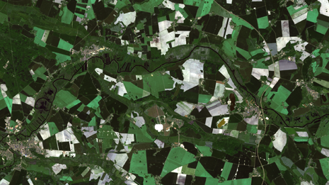
Satellite data can help farmers get an overview of their crop and its condition. Biomass maps or differences in vitality can be used for fertilization management or other measures. But also tree species and damage mapping as well as relative yield estimations are possible.
The goal was to offer a series of online training courses and events in which users from agriculture and forestry can learn how to use Copernicus satellite data, apply the new knowledge to their own practice and use it successfully in the long term.
Events
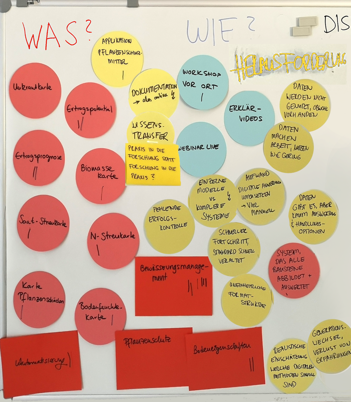
What is the use of satellite data in agriculture and forestry? Where can I get free data and how can I work with it in concrete terms? In our workshops and online trainings we wanted to teach how to use remote sensing data and the benefits for agricultural practice.
2020-11-26 | Web-Seminar: Exchange of experiences and Q&A
2020-11-19 | Web-Seminar: Creation of a fertilizer application map
2020-11-12 | Web-Seminar: Creation of a yield potential map
2020-11-05 | Web-Seminar: Introduction of data portals
2020-10-29 | Web-Seminar: Introduction to Remote Sensing
2020-02-25| Practical workshop for farmers in Luckenwalde
KONSAB Web Seminars
In autumn 2020, a series of free online training courses was successfully conducted, which we subsequently processed into videos and made available on the FERN.Lern exchange platform and the FERN.Lern Youtube channel. All trainings units are also suitable for newcomers to remote sensing and partly rely on each other.
2020-10-29 | Introduction to Remote Sensing: What is remote sensing and what are the potentials of satellite data in agriculture (focus on Copernicus Sentinel-2)? What is a GIS and what data types are there (focus on QGIS)? (16:00 - 17:30)
2020-11-05 | Introducing data portals: Which data portals exist, how are they used and which products and processing methods do they contain (focus on CODE-de)? (16:00 - 17:30)
2020-11-12 | Creating a yield potential map: How is a yield potential map created with Sentinel-2 data in QGIS? How can this be integrated into action planning? (16:00 - 17:30)
2020-11-19 | Creating a fertilizer application map: How to create an application map with Sentinel-2 data in QGIS? How can this be used for site-specific treatment of a field? (16:00 - 17:30)
2020-11-26 | Exchange of experiences and Q&A (16:00 - 17:30)
Many thanks to our external speakers:
- Dirk Scheibe - LAB GmbH Brandenburg http://www.lab-agrarberatung.de
- Christian Münchhoff - Gut Derenburg GbR https://www.gut-derenburg.de
- Daniel Spengler - GFZ Potsdam https://www.gfz-potsdam.de/staff/daniel-spengler