

Catch Mekong
The overall objective of the Catch-Mekong project is to provide innovative research and technologies for a sustainable and transboundary management of the natural water and land resources in the Mekong Delta. Thereby, environmental impacts of upstream developments (land use, hydropower dams, sand mining) on the Mekong Delta are of particular focus. More specifically, the project focuses on the following objectives:
- Establishment of a profound data and information base for scientists, planners, and decision makers to help address development challenges
- Filling knowledge gaps in the key themes water availability, saltwater intrusion, land use efficiency, river morphology, and coastal erosion.
- Transfer of know-how and technology, through the development of innovative, hydrologic sensor technologies and measurement stations.
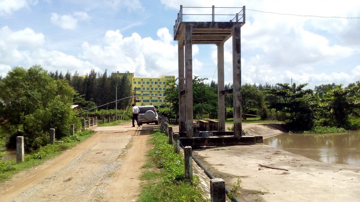
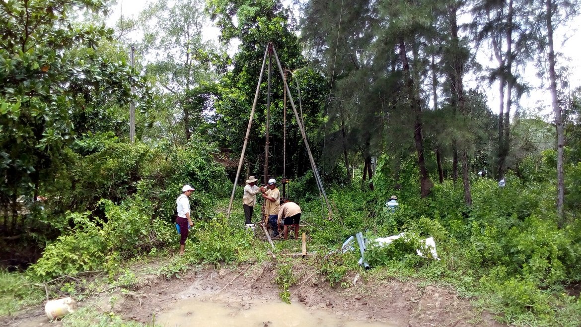
Within the project section 5.4 Hydrology the impact of planned dam developments in the Mekong basin on hydrology and sediment delivery is estimated by means of hydrological modelling. The planned dams are explicitly taken into account in the model, enabling the simulation of different development scenarios and their impacts on suspended sediments loads. The simulated changes in sediment load provide a quantitative basis for an estimation of the impact of reduced sediment loads on the morphological development of the Delta. Furthermore section 5.4 investigates the salinity intrusion in the shallow ground water layer in the coastal area. A dedicated monitoring network consisting of eight ground water wells, river water quality stations and meteorological stations is installed in Tra Vinh city. With the help of the monitoring the interaction of saline river water and the ground water will be quantified for the first time, thus providing information about the exchange processes and possible mitigation measures and ground water management options.
Project website : Catch Mekong
