


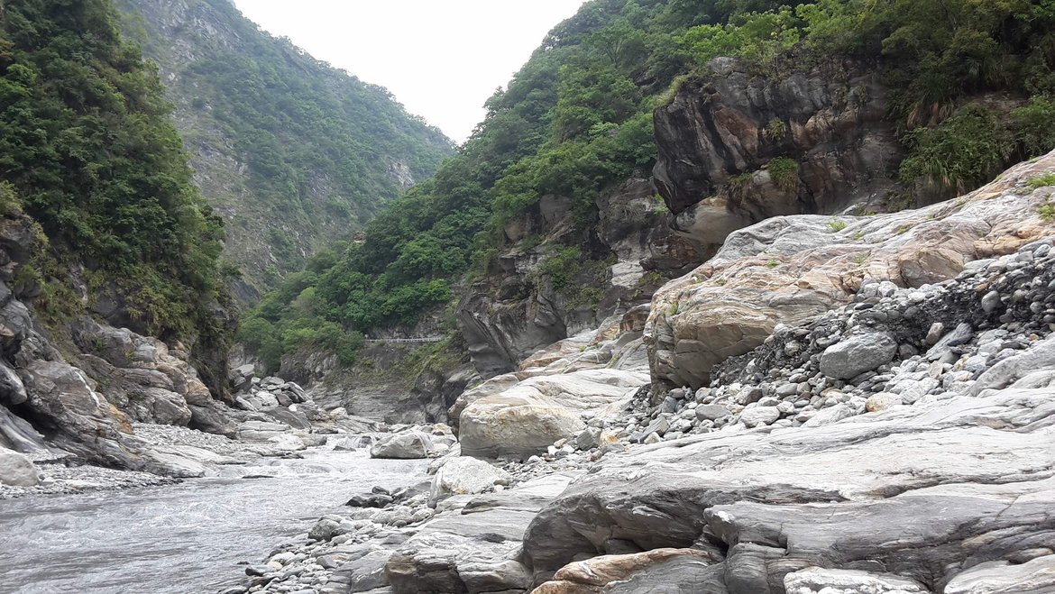
There is a need to improve our understanding and modeling of how surface relief and topography affect rainfall patterns and the distribution of rainfall events both spatially and temporally, and in turn how this affects discharge distributions and patterns of erosion. In particular, it is important to develop a better understanding of the link between rainfall variability and mean, and discharge variability and mean in mountainous river catchments in order to build predictable models of long-term evolution of mountain belts, but also to predict the magnitudes and frequencies of natural hazards (e.g. landslides, floods).
Currently, our understanding is limited by the assumption of uniformity of rainfall mean and variability in any catchment, which cannot be taken lightly in mountainous river catchments where the control of rainfall by orography cannot be neglected, as the mean rainfall intensity and variability varies greatly with altitude. Therefore, the main focus of this project is to answer these questions i.e. to overcome these severe limitations, and to improve the current model of the relation of rainfall to discharge characteristics by taking into account the orographic effect on precipitation, and also the effect of finite storm size in large catchments. The acquired knowledge would be used to predict how these forcings affect erosional processes characterized by a threshold (e.g. river incision, landsliding).
Project Investigators: Igor Lisac , Jean Braun, Niels Hovius