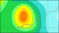
German Seismic Hazard Model (2016)
Interactive seismic hazard map retrieval for Germany and site-specific acceleration response spectra maps for different hazard levels and macroseismic intensities maps for Germany.
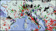
World Stress Map Database 2016
Global database of the contemporary stress state of the Earth's crust and interactive service for the generation of user-specific stress maps with the interface CASMO - Create A Stress Map Online.

Seismic Loads - Building Codes
Seismic load parameters for the German building code
- DIN EN 1998-1/NA:2011-01, the german zonation map, (former DIN 4149:2005-04)
- Building Code DIN 19700, the safety regulation for hydraulic structures in Germany
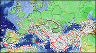
Provided Earthquake Catalogues:
- EMEC (European-Mediterranean Earthquake Catalogue) earthquake catalogues
- CENEC unified Catalogue of Earthquakes in Central, Northern and North-Western Europe
- SHEEC (SHARE European Earthquake Catalogue) earthquake catalogues
- EMCA (Earthquake Model Central Asia) Central Asia Earthquake Catalogues
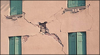
European Macroseismic Scale EMS-98
Provision of the European Makroseismic Scale EMS-98. The EMS-98 was published in the original in English, complete editions exist also in French, Spanish and Chinese. The EMS-98 core part or the short form are available in altogether about 30 translations.
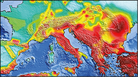
GSHAP Map Online Service - Downloads of maps and data
This online service provides the generation of user specific maps of the Global Seismic Hazard Assessment Program (GSHAP) and their download.
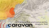
CARAVAN Near-real-time earthquake impact forecasting for Central Asia
Central Asia (Kyrgyzstan, Kazakhstan, Tajikistan, Turkmenistan, Uzbekistan) is one of the parts of the world with the highest levels of seismic hazard. We develop for the Central Asian Risk And Vulnerability Analysis Tool (CARAVAN). CARAVAN is a web-based application for on-demand, near real-time scenario-based risk assessment in Central Asia (Manual - PDF).
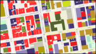
OpenBuildingMap
Globale, dynamische und offene Datenbank von Gebäuden und deren Eigenschaften, dargestellt in Form einer interaktiven Karte. Zugängliche offene Gebäudedaten sind zusammengefasst und in Hinblick auf Expositions- und Vulnerabilitätsindikatoren interpretiert.
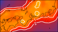
CompletenessWeb
Data service for interactive retrieval of detection completeness and probability maps for various major seismic networks.


![[Translate to English:] Logo EFEHR](/fileadmin/_processed_/4/8/csm_efehr_6fc930b3c0.png)
![[Translate to English:] eGSIM](/fileadmin/_processed_/f/6/csm_efehr_flyer_trans_scaled_fa30012451.png)
