Introduction SAR Interferometry
Introduction
The synthetic aperture radar (SAR) complex single look image data delivered by ERS-1 and ERS-2, ENVISAT, TerraSAR-X, RADARSAT, ALOS and by USA Shuttle with X -SAR (DLR) can be successfully used for interferometric analysis.
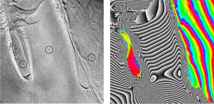
Traditionally, only the magnitude of back scattered and received echo was interpreted. Now, by means of the SAR-interferometry, the phase proves to be a valuable source of geometric information. The interferometric phases are obtained by conjugated complex multiplication of two images acquired from slightly different sensor positions and allow the derivation of three dimensional positions of the scatter elements.
Beside this topography estimation can be deformation values derived under usage of an external digital elevation model (DEM). The interferometric correlation (coherence) is a measure for the accuracy of the determination of the interferometric phase. The coherence decreases with increasing volume scattering and temporal changes.
From this follows the main restriction of InSAR. With decreasing coherence InSAR will be more and more not practicable. Since often several points are not affected by spatial-temporal variation of backscattering properties, so called “persistent scatterers” points, it is tried to monitor them for long-term. Such time-series analysis approaches give information about history of deformation. By the means of coherence and intensity values, information about vegetation and soil moisture can be derived.


