

Soil Erosion Detection within MEDiterranean agricultural areas using HYperspectral data - SEDMEDHY
Funding by: EU-FP7 EUFAR (EUropean Facility for Airborne Research) program through the SEDMEDHY Transnational Access grant, with additional support from the EnMAP Science Program (50EE1923) funded by the German Federal Ministry of Economics and Technology under the DLR Project Management Agency, and additional support from the Spanish R&D National Project (AGL2010-17505)
Funding ID: Grant agreement No 312609 (EUFAR)
Funding period: 2011 - 2014
Project partners: Centro de Investigaciones Energéticas, Medioambientes y Tecnológicas (CIEMAT) I Tel Aviv University (TAU) I Department of Desertification and Geoecology (3EEZA) I Universidad Politécnica de Madrid (UPM) I Universidad de Extremadura (UEX)
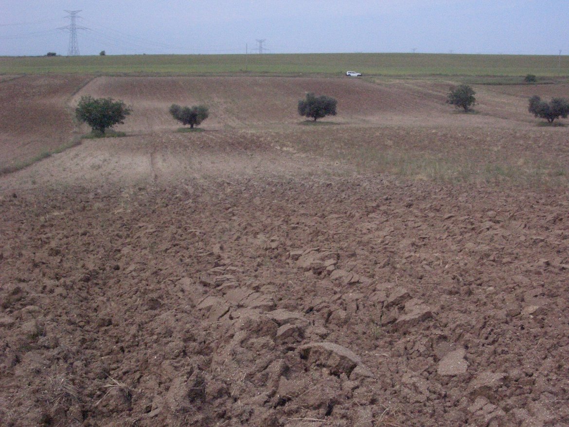

The determination of surface soil properties is an important application of remotely sensed hyperspectral imagery. Moreover, different soil properties can be associated with erosion processes, with significant implications for land management and agricultural uses. This project integrates hyperspectral data supported by morphological and physio-chemical ground data to identify and map soil properties that can be used to assess soil erosion and accumulation. Main soil parameters to be measured are organic matter, iron-oxides, clay mineral and calcite content. These parameters are significant for assessing soil erosion in this region and will be implemented afterwards to generate a “soil erosion” hazardous map based on remote sensing and ground-truth data. These properties characterize different soil horizons that emerge at the surface as a consequence of the intensity of the erosion processes, or the result of accumulation conditions. This project addresses the problems of erosion caused by agricultural activities within this area, where soils often form part of a fragile ecosystem. The following scientific issues are considered:
- Discriminating crop residue, sparse vegetation and bare soil types using high resolution hyperspectral data;
- Integrating detailed terrain information to account for small scale variations in the topography;
- Defining soil surface characteristics as indicators of soil erosion stages;
- Developing a methodology to classify the soil and crop cover at the pixel and sub-pixel level; and
- Obtaining high spectral resolution data at different spatial resolutions to address scaling issues of future spaceborne hyperspectral sensors (e.g. EnMAP - Environmental Monitoring and Analysis Program and PRISMA - PRecursore IperSpettrale della Missione Applicativa)
Publications
Schmid, T., Rodriguez-Rastrero, M., Escribano, P., Palacios-Orueta, A., Ben-Dor, E., Plaza, A., Milewski, R., Huesca, M., Bracken, A., Cicuendez, V., Pelayo, M. and Chabrillat, S. (2015): Characterization of Soil Erosion Indicators Using Hyperspectral Data From a Mediterranean Rainfed Cultivated Region. IEEE Journal of Selected Topics in Applied Earth Observations and Remote Sensing DOI
Conference presentations (talks and posters)
Milewski, R., Chabrillat, S., Schmid, T., Rodriguez-Rastrero, M. and Schütt, B. (2015): Characterization of Soil Erosion Stages Using Airborne Hyperspectral Data and Lidar Derived Morphometric Parameters in a Mediterranean Agricultural Area. 9th EARSeL SIG Imaging Spectroscopy workshop, 14-16 April 2015, Luxembourg, Luxembourg.
Milewski, R., Chabrillat, S., Schmid, T., Rodriguez-Rastrero, M. and Schütt, B. (2014): Use of Field and Airborne Advanced Remote Sensing Data for the Characterisation of Surface Erosional Stages in Agricultural Semi-Arid Soils (Central Spain) at Various Scales. European Geosciences Union General Assembly, 27 April - 02 May 2014, Vienna, Austria.
Chabrillat, S., Milewski, R., Schmid, T., Rodriguez-Rastrero, M., Escribano, P., Pelayo, M. and Palacios-Orueta, A. (2014): Potential of hyperspectral imagery for the spatial assessment of soil erosion stages in agricultural semi-arid Spain at different scales. 34th International Geoscience and Remote Sensing Symposium (IGARSS), 13-18 July 2014 Québec city, Canada.
Chabrillat, S., Schmid, T., Palacios-Orueta, A., Bracken, A., Rodriguez-Rastrero, M. and Milewski, R. (2013): Multiscale analysis of soil reflectance data for assessment of erosion state in agricultural semi-arid Spain (Camarena). 3d Global Workshop on Proximal Soil Sensing (GWPSS), 26-29 May 2013, Potsdam, Germany.
Schmid, T., Palacios-Orueta, A., Chabrillat, S., Ben-Dor, E., Plaza, A., Rodriguez-Rastrero, M., Huesca, M., Pelayo, M., Pascual, C., Escribano, P. and Cicuendez, V. (2012): Spectral Characterisation of Land Surface Composition to Determine Soil Erosion within Semiarid Rainfed Cultivated Areas. 32nd International Geoscience and Remote Sensing Symposium (IGARSS), 22-27 July 2012, Munich, Germany.

