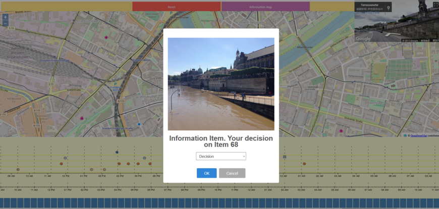
The objective is the utilization of information that is provided by volunteers in social media (volunteered geographic information – VGI) for geoscientific questions. For the specific application of rapid damage estimation during flood events, images from social media are used to derive relevant measures such as inundation depth, inundation area, and pollution and to complement available data from gauges, satellite images, and simulation data. The focus of the project is the development of novel methods in the two computer science fields of computer vision and visual analytics. New methods in computer vision serve for the identification of relevant images from the overall set of social media images. New methods in visual analytics support geoscientists in assessing the scientific use of the derived information and in creating a data composite from the different data sources. The project is part of the DFG priority program „Volunteered Geographic Information: Interpretation, Visualisierung und Social Computing“.
Funded by: German Research Foundation (DFG)
Funding period: 01.08.2016 - 31.10.2019


