

Iran has experienced a dramatic increase in water scarcity in recent decades. The main reason for this is massive and unsustainable water use in agriculture. Researchers from the GFZ German Research Centre for Geosciences, together with colleagues from the University of Stuttgart and the Karlsruhe Institute of Technology KIT, have traced the development over the last twenty years for Iran as a whole. The study was recently published in the journal Scientific Reports.
The team used only globally available data sets, including MODIS satellite time series data, data from the GRACE/-FO satellite missions, and ERA5 reanalysis climate data. Reanalysis means that current weather and climate models are combined with past data to provide a variety of weather and climate parameters at hourly resolution worldwide.
In their work, the researchers led by first author Robert Behling of the GFZ’s Remote Sensing and Geoinformatics Section quantified the spatial and temporal dynamics of meteorological water availability, land cover, and plant growth, as well as their interactions. Special attention was paid to the development of agricultural vegetation.
The use of MODIS satellite data and other remote-sensing land cover parameters allowed obtaining results in high spatial and temporal resolution for whole of Iran. The data series from the GRACE and GRACE-FO satellite missions are of particular importance, as these missions record total water storage (surface water and groundwater) globally from space.
Agriculture expands and becomes more intensive
In recent decades, the area of land used for agriculture in Iran expanded by about 27,000 square kilometers (nine percent) and cultivation intensified on 48,000 square kilometers. By comparison, Iran’s total agricultural land covers about 300,000 square kilometers. “At the same time, we observe a significant decrease in total water storage, which is not represented by a decrease in meteorological water input,” says co-author Sigrid Roessner of GFZ. For the researchers, this clearly speaks for an unsustainable use of groundwater, which is mainly consumed for agricultural irrigation.
Analysis of the data showed that, as a result of water scarcity, around 10,000 square kilometers of agricultural areas experienced a loss or a reduction in vegetation growth, especially in irrigated agricultural areas under dry and extremely dry conditions. Sigrid Roessner says, “this also highlights the high vulnerability of irrigated lands to degradation and overuse in drylands.”
Natural vegetation also affected by water shortage
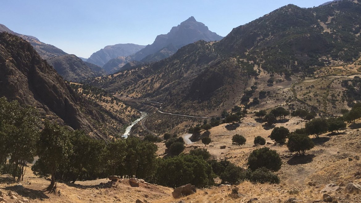
In Iran’s natural biomes, the results show declining trends in vegetation growth and a reduction in land cover from sparse vegetation to barren land over 40,000 square kilometers, especially in the western plains and the foothills of the Zagros Mountains. Higher regions, on the other hand, show widespread greening trends. Overall, the areas with natural vegetation show a much stronger correlation between vegetation growth and hydrometeorological water availability.
The team concludes, “overall, our results provide detailed insights into vegetation development across Iran, as well as anthropogenic and natural causes and consequences over a period of nearly 20 years. Our results allow further analysis both at the state level and at any other freely selectable spatial reference unit, and are thus usable at all administrative levels. Hence, they can support the development of sustainable management plans for the country. Our methodology, built exclusively on globally available datasets, is also applicable to all other semi-arid regions worldwide, which often face similar conditions.”
Original study:
Behling, R., Roessner, S., Foerster, S. et al. Interrelations of vegetation growth and water scarcity in Iran revealed by satellite time series. Sci Rep12, 20784 (2022). DOI: https://doi.org/10.1038/s41598-022-24712-6
Figures:
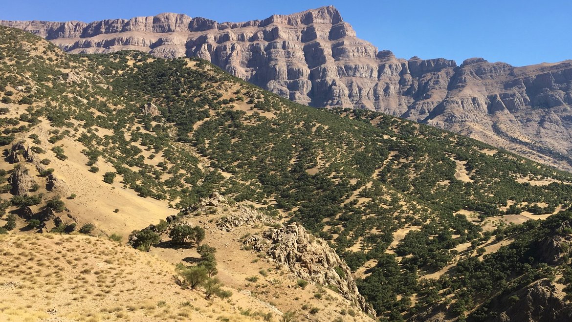
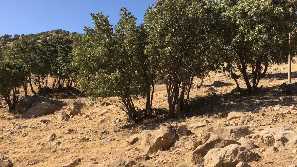
Fig. 1:
BU_en:
Forest in the Zagros Mountains damaged by grazing (Dorud region, Iran). (Photo: S. Roessner, GFZ).
Link:
https://media.gfz-potsdam.de/gfz/wv/pm/23/20230221_degraded-forest-Iran_Sigrid-Roessner.jpg
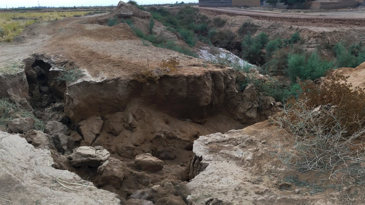
Fig. 2:
BU_en:
Erosion digs deep gullies when the vegetation cover of the soil disappears. The picture shows such a gully in the Iranian province of Khuzestan. (Photo: S. Roessner)
Link:
https://media.gfz-potsdam.de/gfz/wv/pm/23/20230221_Gully-erosion-Iran_Sigrid-Roessner.jpg


![[Translate to English:] Hörsaal](/fileadmin/_processed_/e/6/csm_H%C3%B6rsal_f1d7c412b9.webp "[Translate to English:]")


