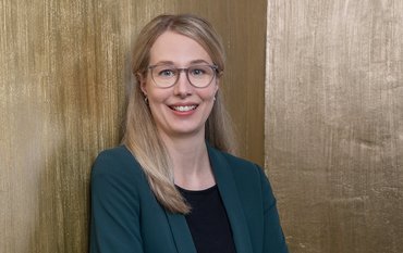
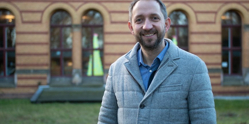
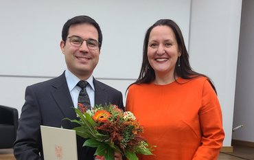
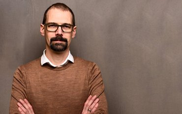
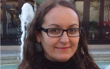
Prof. Martin Herold has taken over as head of Section 1.4 - Remote Sensing and Geoinformatics in the Department of Geodesy at the German Research Centre for Geosciences on 1 January 2022. Herold comes from Wageningen University in the Netherlands. After eleven years as "Full Professor of Geoinformation Science and Remote Sensing" there, he now takes on research challenges for the German Research Centre for Geosciences.
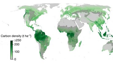
An important research focus of Martin Herold will continue to be the observation and evaluation of the global land dynamics. Herold brings extensive research experience to this field and will continue ongoing projects and research lines at GFZ. His methodological focus is on the development of algorithms to characterize the dynamics of vegetation. He develops algorithms that can reveal anomalies and disturbances in natural ecosystems or indicate the type and speed of changes for deforestation, restoration or biomass. If such algorithms are combined with the ever growing satellite data archives and the continued advances in Big Data analytics and cloud computing are used, satellite-based monitoring of large areas will become more detailed, accurate and fast.
Another research focus of Herold will be the linking of data streams from the different sources of ground, near and remote sensing. Data from near-sensing (drones) and from new satellite sensors (e.g. ENMAP, CHIME) will enable a much more comprehensive assessment of the spectral dimension of land surfaces and their dynamics. Eventually, hyperspectral measurements will gradually enhance current optical remote sensing methods, as these are based only on simple vegetation indices and few global land cover categories. Herold has a strong focus on hyperspectral remote sensing and considers the integration with “third dimension sensors” (i.e. RADAR and LIDAR) to be essential for the future assessment of global land characteristics.
Herold also wants to better integrate data science and process modelling and explore how to combine the versatility of data-driven machine learning with physical system and process models to take advantage of both fields. An outstanding example of such integration, says Herold, could be developed for terrestrial carbon stock/flux assessment, or enhance predictions of the human impact on land surface dynamics.
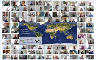
At the same time, Herold aims to invest energy and resources in further building and maintaining worldwide networks so that true global Earth observation can succeed. Such coordination efforts and advocacy require a serious long-term commitment.
Herold is already well connected internationally and has been an IPCC lead author in the past. He is Co-Chair of the Global Observations of Forest Cover and Land Dynamics (GOFC-GOLD) Land Cover Team and Co-Lead of the Global Forest Observation Initiative of FAO. He is also a member of the UNCCD Expert Group on Guidelines for Monitoring and Reporting for land degradation and contributes to the UN-STATS Expert Group on Indicators for Achieving the UN Sustainable Development Goals (SDGs), where he served on the Working Group on Spatial Information (WGGI).


![[Translate to English:] Torsten Sachs in front of a climate station on a field](/fileadmin/_processed_/3/9/csm__TorstenSachs_bearbeitet_GS_4a1365ef84.jpeg)
![[Translate to English:] left image flood at the Ahrtal: image from above, several houses are flooded; left image:: Heidi Kreibich;](/fileadmin/_processed_/4/4/csm_Bild2_9af0130e9f.png)
![[Translate to English:] Start der Vega Rakete](/fileadmin/_processed_/6/4/csm_20231201-kachel_Vega-VV23-launch_ESA-CNES-Arianespace_706716b68c.jpeg)
![[Translate to English:] Poster exhibition at the Brandenburg Hydrogen Day at the GFZ, some participants in the foreground](/fileadmin/_processed_/6/5/csm_Erster_Brandenburgischer_Wasserstofftag_GFZ_402fcec95e.jpeg)
![[Translate to English:] Group picture of the participants](/fileadmin/_processed_/9/4/csm_20231108_CAWa-Workshop-Tashkent_Gruppenbild_99ea779d8a.jpeg)
![[Translate to English:] [Translate to English:] Hörsaal](/fileadmin/_processed_/e/6/csm_H%C3%B6rsal_e21ac645fb.jpeg)
![[Translate to English:] The Delegations in the Historic Library on the Telegrafenberg. In the back there are from left to right, the Dutch Ambassador for Germany, Ronald van Roeden, the Dutch Minister for Education, Culture and Science, Robbert Dijkgraaf and the scientific director of the GFZ, Susanne Buiter.](/fileadmin/_processed_/d/b/csm_Kachel-2_9eba4b4212.jpeg)
