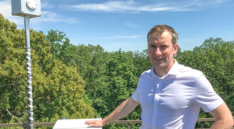
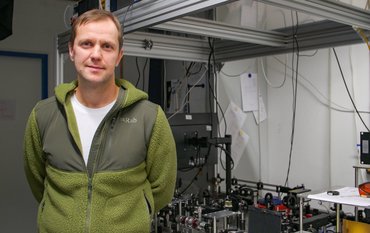
We talk to Maximilian Semmling, head of the GNSS Reflectometry working group in GFZ section Space Geodetic Techniques. He is taking part in MOSAiC, the largest Arctic expedition of all times, under the direction of Alfred Wegener Institute, to test a new method of remote sensing using radio signals reflected from the Earth's surface to determine, for example, ice thicknesses.
You are the head of the GNSS Reflectometry group. What is the group working on?
We are dealing with the reflected signals of global satellite navigation systems, GNSS.
We currently want to develop a method to use these reflections for the observation of the sea surface. We want to know whether the reflected GNSS signals are suitable for studying sea ice or parameters such as sea level. In perspective, the method will also be applied to land surface reflections, for example to determine soil moisture.
How does the method work?
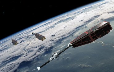
There is a whole range of GNSS satellites, i.e. navigation satellites such as the GPS or Galileo satellites, which send their radio signals to Earth. The great thing is that we can also use these signals for remote sensing. For our new method, we can use the GNSS signals reflected from the surface by a specially adjusted receiver.
You are taking part in the MOSAiC Arctic expedition led by the Alfred Wegener Institute, the largest Arctic research expedition ever. What are you doing there?
We see the participation as a great opportunity for our method development. Our main question is not "How is the sea ice distributed globally". First, we want to test what we can find out about the sea ice by measuring the reflected radio signals by ship. To do this, we need to know exactly how the GNSS signal penetrates the sea ice. Unlike light, which is largely reflected by sea ice, radio signals penetrate relatively far into the ice.
The properties of the reflected signal – amplitude and frequency – not only determine where sea ice is, but also how thick or how old it is. We can then characterize sea ice types.
What possibilities does a measurement by ship offer compared to satellite or flight measurements?
When measuring from ship, we are really on the spot. This offers great opportunities for the methodological development compared to just looking down from far above. We come very close to all the measurements done directly on the ice that are very important within MOSAiC.
Of course, the findings from the MOSAiC project will then be used to improve other reflectometry measurements in the future, e.g. by satellite.
What makes the Mosaic project special for your work?
The MOASiC project aims to collect as much information as possible about the Arctic. We can relate our GNSS data to all the data collected in parallel to our measurements and thus better evaluate our method.
The project is very interdisciplinary. There are atmospheric measurements, sea ice measurements, one working group only deals with biology in the ice and so on. Thus, all measured data can be linked and interpreted together with many other data. This provides a much better understanding of the overall situation and of the individual data sets.
It is important for us to know exactly which information the measured reflectometry data provide. Even if we are close, we are still working on a remote sensing method in which the devices do not come into direct contact with the ice. We therefore have to interpret the measured signal properties before we can derive the ice properties.
How has the thickness of sea ice been determined so far?
Up to now, radiometers have been used. They do not use actively transmitted signals but measure the passive radiation of the ice. SAR data are also used. SAR stands for Synthetic Aperture Radar and is a radar method in which surfaces are scanned from an aircraft or satellite.
The advantage of our method is that the large number of GNSS satellites allows us to achieve large coverage while still having a small sensor. So there is a lot of permanently measured data available. And these radio signals reach Earth relatively unhindered and can be used, for example, independently of cloud cover or the day and night cycle or light conditions.
Is it a good idea to test the method with sea ice because it has a uniform surface?
That's what I thought at first, but in fact sea ice has a very distinct topography. Particularly old sea ice, in which clods push against each other and on top of each other, sometimes has height differences of up to several meters.
Who could use the method you developed?
Climate change is likely to increase shipping in the Arctic. To this end, it may be useful to be able to determine sea ice thickness from a ship.
The data can also be used for scientific purposes, for a better modelling of the Earth or the Arctic Oceans. This will enable us, for example, to monitor the effects of climate change much better and more comprehensively in the future. But the accuracy of the information can only be improved by researching the methodology.
When is your new method ready for application?
There is the so-called "technical readiness level". Some approaches are already relatively close to that point. For example, there are GNSS ground networks that can measure sea levels from ground stations rather than satellites using reflectometry. This is worked on since 2008 and has taken about ten years to come to an applicable method.
For our method, we still have to critically evaluate several parameters in order to get from concept to application. For sea level measurements, for example, it is the delay in the atmosphere that causes the signals to be deflected as they pass through the atmosphere, for example by the water vapour content. This changes the transit time of the radio signal, but not the strength of the signal. We have to understand exactly how the water vapor delays the signal in order to calculate corrections.
Are there any other exciting projects you are currently working on?
We have a cooperation with French partners in Calais, on the north coast of France, with whom we want to carry out flight measurements. We use our sensors for reflectometry to examine sea level along the coastline from an aircraft. And we want to see whether we can gain information on the motion of the sea from the reflected signals.
For the further development of our methods for polar research, we have also installed a measurement set-up in an arctic research station in Ny-Alesund, Spitsbergen.
What is your background, how did you become a specialist in GNSS reflectometry?
I originally studied physics and always looked for connections to other topics and applications. At the end of my studies, I mainly dealt with biological systems. But then I found the Geosciences working environment very attractive: travelling, discovering the world, which is why I applied at GFZ.
What is the future of GNSS reflectometry? What are the challenges once your method has been transferred to application?
Measuring altimetry globally and permanently over the oceans using reflectometry is a big challenge. We have not yet reached the point where we can make precise global measurements. We still have to work on many adjustments, including the GNSS signal itself. If the dynamics in the field of research are maintained, we can, however, get closer to this goal step by step.
Interview Ariane Kujau
More informationen on the MOSAiC expedition:
- Expedition website AWI
- Twitter: @MOSAiCArctic
- Twitter #MOSAiCexpedition
- Instagram: @mosaic_expedition
- Instagram #MOSAiCexpedition


![[Translate to English:] Torsten Sachs in front of a climate station on a field](/fileadmin/_processed_/3/9/csm__TorstenSachs_bearbeitet_GS_4a1365ef84.jpeg)
![[Translate to English:] left image flood at the Ahrtal: image from above, several houses are flooded; left image:: Heidi Kreibich;](/fileadmin/_processed_/4/4/csm_Bild2_9af0130e9f.png)
![[Translate to English:] Start der Vega Rakete](/fileadmin/_processed_/6/4/csm_20231201-kachel_Vega-VV23-launch_ESA-CNES-Arianespace_706716b68c.jpeg)
![[Translate to English:] Poster exhibition at the Brandenburg Hydrogen Day at the GFZ, some participants in the foreground](/fileadmin/_processed_/6/5/csm_Erster_Brandenburgischer_Wasserstofftag_GFZ_402fcec95e.jpeg)
![[Translate to English:] Group picture of the participants](/fileadmin/_processed_/9/4/csm_20231108_CAWa-Workshop-Tashkent_Gruppenbild_99ea779d8a.jpeg)
![[Translate to English:] [Translate to English:] Hörsaal](/fileadmin/_processed_/e/6/csm_H%C3%B6rsal_e21ac645fb.jpeg)
![[Translate to English:] The Delegations in the Historic Library on the Telegrafenberg. In the back there are from left to right, the Dutch Ambassador for Germany, Ronald van Roeden, the Dutch Minister for Education, Culture and Science, Robbert Dijkgraaf and the scientific director of the GFZ, Susanne Buiter.](/fileadmin/_processed_/d/b/csm_Kachel-2_9eba4b4212.jpeg)
