

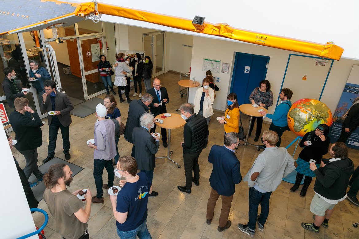
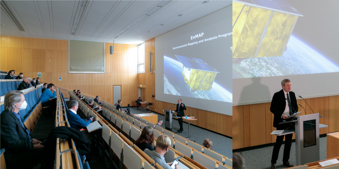
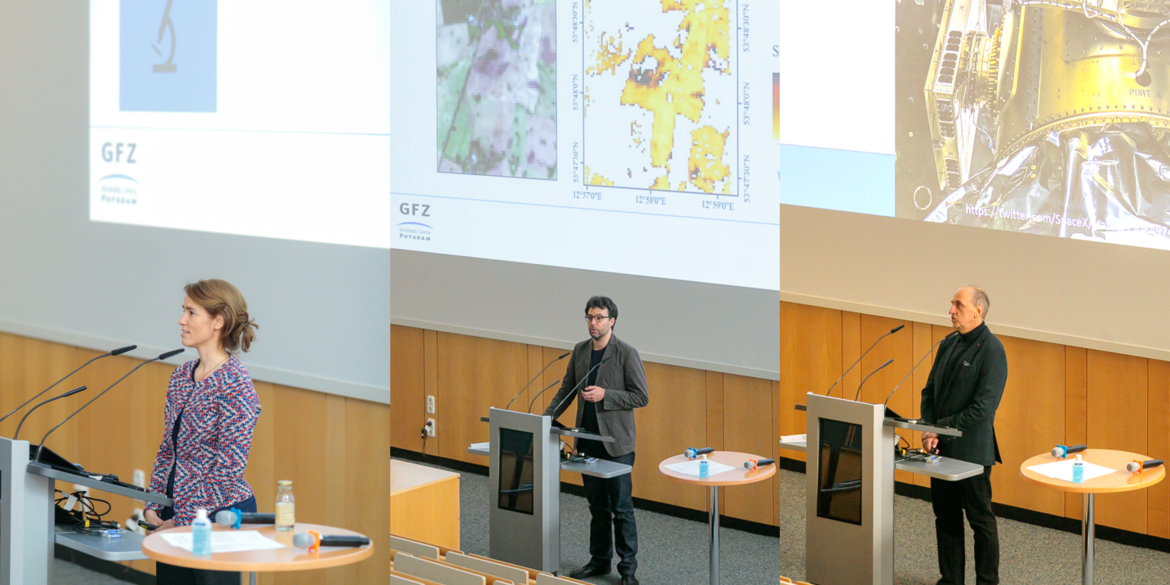
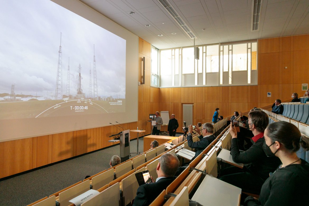

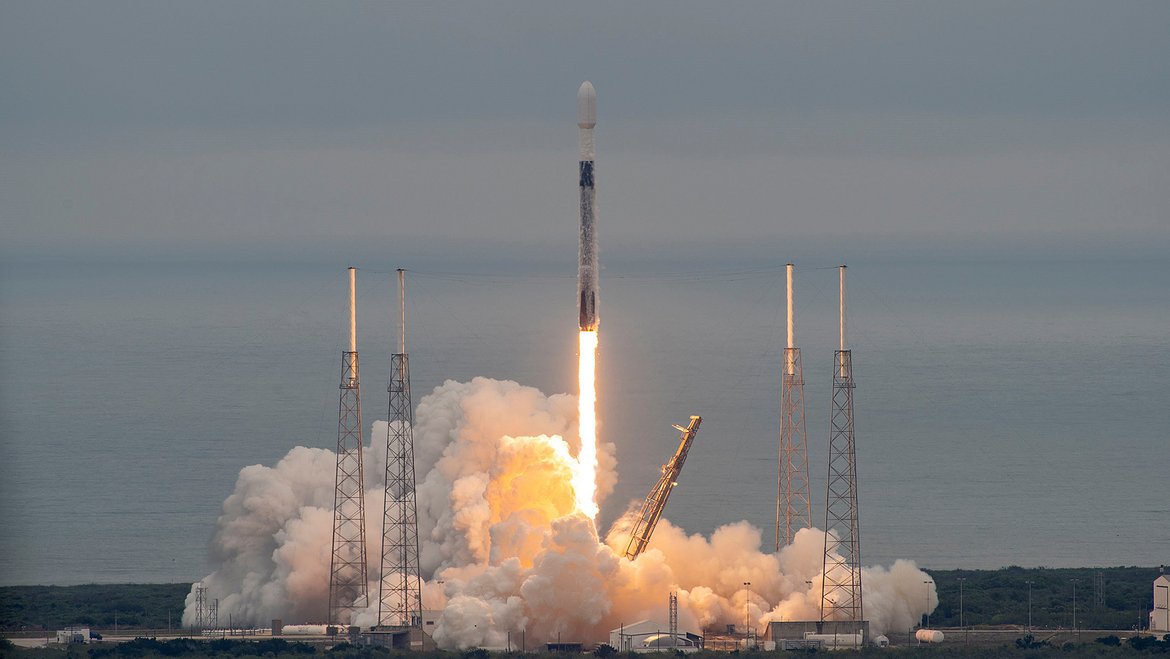
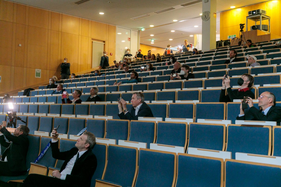
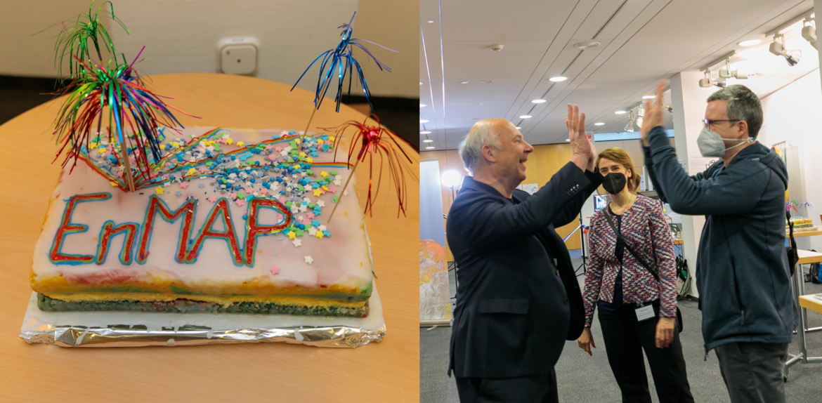
The German environmental satellite EnMAP was successfully launched into space on Friday evening, 01 April 2022, from Cape Canaveral in Florida on board a SpaceX Falcon 9 rocket. The "science" team of the EnMAP mission at the German Research Centre for Geosciences Potsdam celebrated the exciting minutes before and during the launch with a diverse and informative event. Lectures, talks and live broadcasts gave an impression of the scientific background, many years of preparations and various current and future fields of application of the mission. Also joining the event was Potsdam's Lord Mayor Mike Schubert, who was equally excited and congratulated on the successful launch.
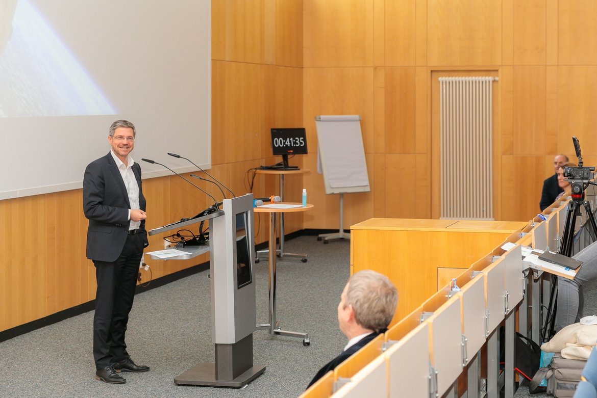
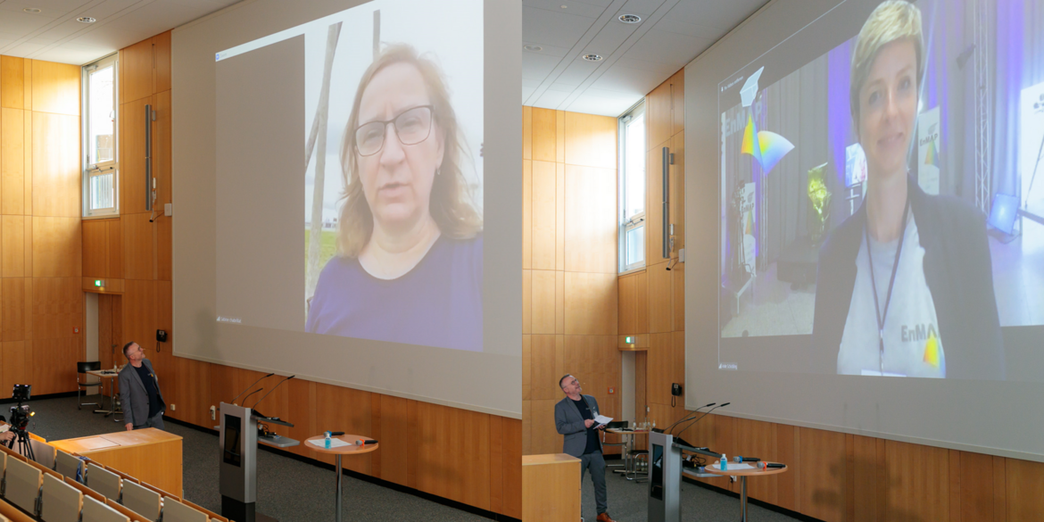
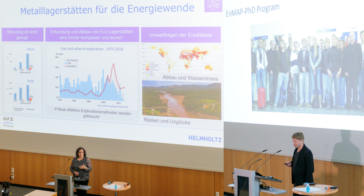
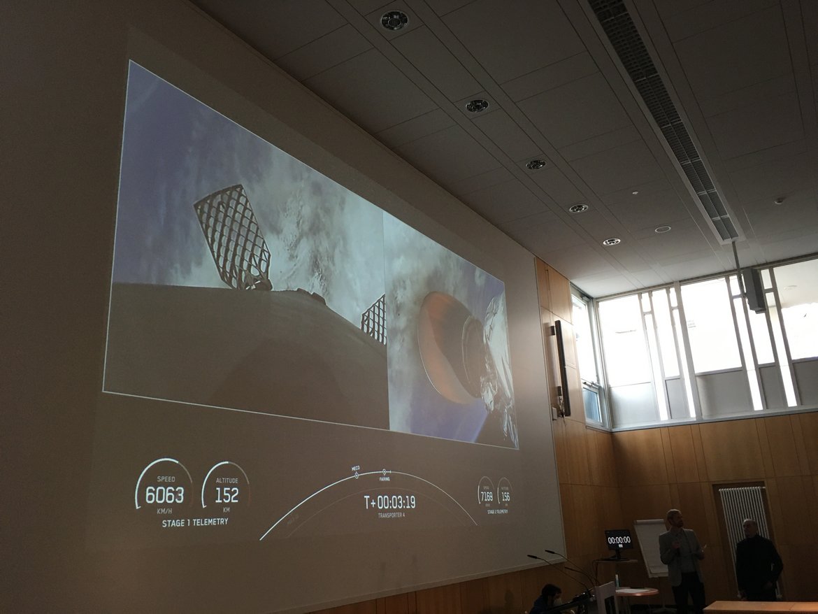
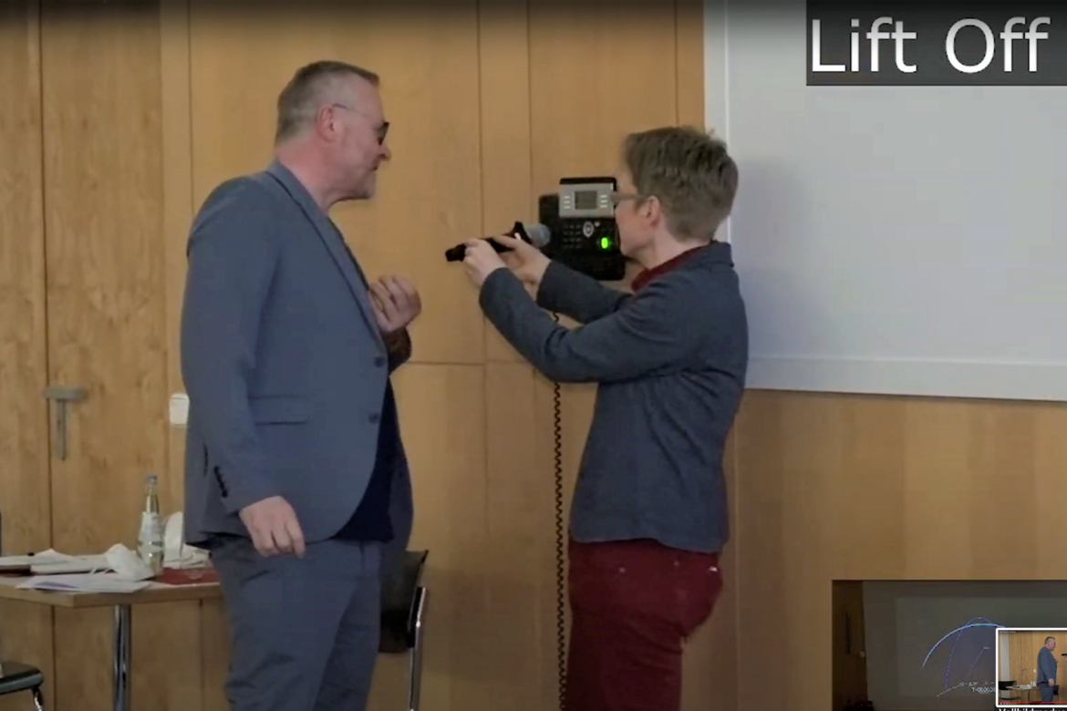
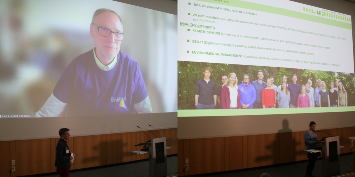
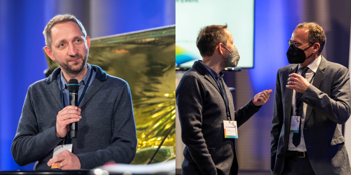
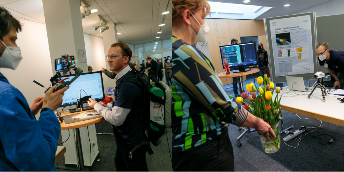
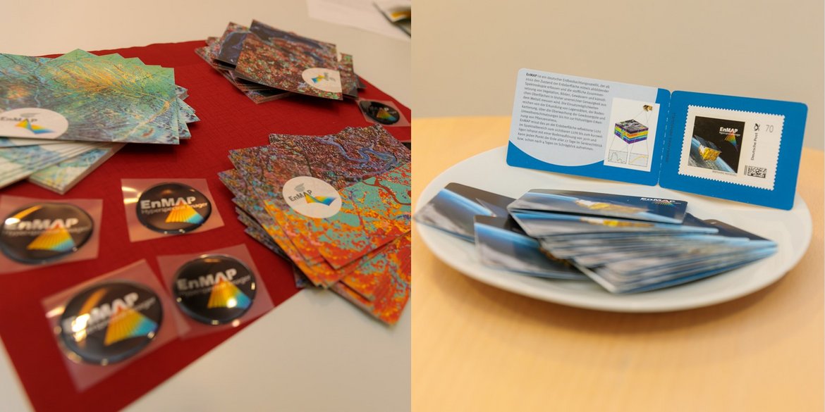
Impressions of the event are available in the picture gallery above.
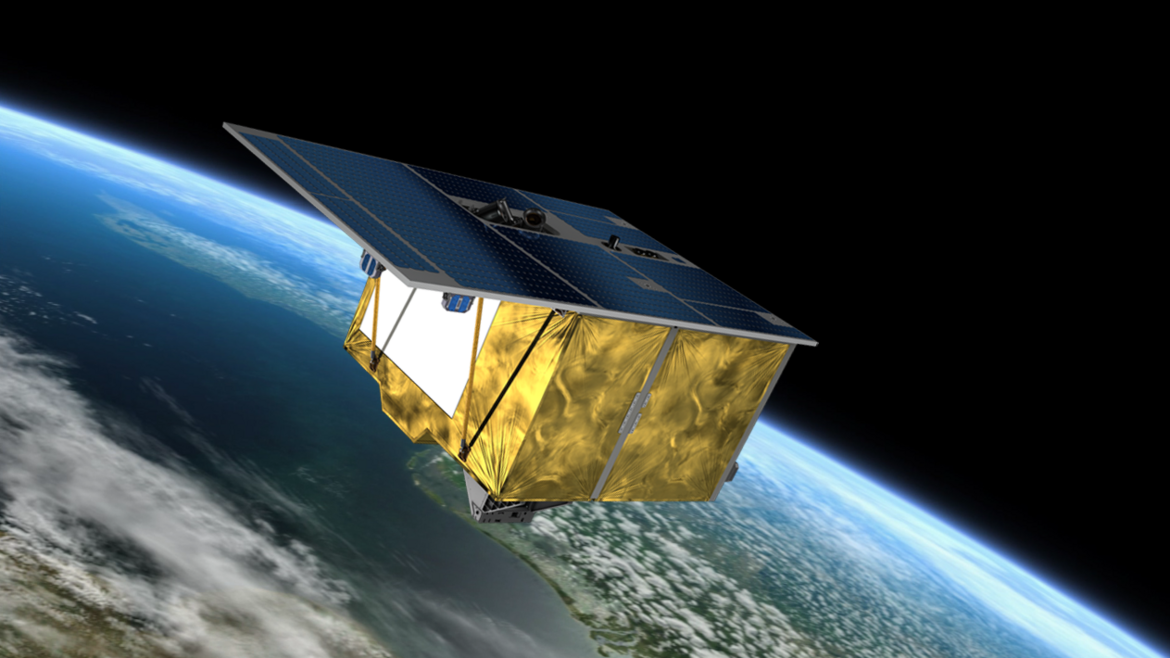
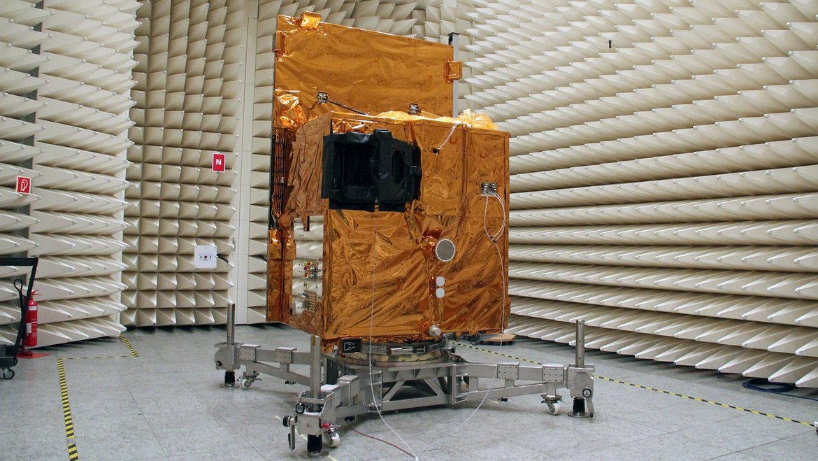
EnMAP stands for "Environmental Mapping and Analysis Program". Over the next few years, the hyperspectral mission will take images of the Earth's surface in around 250 colours ("spectral bands") and thus provide information on the condition of vegetation, soils and waters more precisely than ever before. Even short-term changes can be recorded with the help of the satellite, which is about the size of a wardrobe. The EnMAP environmental mission is led by the German Space Agency at the German Aerospace Center (DLR) on behalf of the Federal Ministry of Economic Affairs and Climate Action (BMWK). The mission is under the scientific management of the German Research Centre for Geosciences (GFZ) in Potsdam. The satellite and the hyperspectral instrument were developed and built by OHB-System AG. The total cost is around 300 million euros.
Anna Christmann: "The innovative mission helps to record the effects of the climate crisis and environmental pollution."
"Without Earth observation from space, it would be very difficult to quantify the global extent of the climate crisis and its consequences," says the Federal Government Commissioner for Aerospace, MdB Dr. Anna Christmann. "The innovative and powerful EnMAP satellite mission of DLR and GFZ will give us precise information about the state of the Earth's ecosystems with its hyperspectral images. This will help us to record the effects of the climate crisis, biodiversity loss and environmental pollution. With EnMAP, Germany is making an important contribution to European space technology and to an intact planet."
Niels Hovius: "The launch marks a milestone in GFZ history."
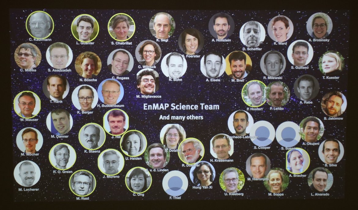
The Scientific Director (interim) of the GFZ, Prof. Niels Hovius, emphasises the scientific importance of the mission and the diverse applications: These ranged "from the exploration of deposits and soil mapping to the monitoring of water quality, the early detection of plant stress and the recording of environmental pollution. EnMAP will provide important data to accurately determine the consequences of climate change and other environmental changes on Earth." Hovius added: "The launch marks a milestone in GFZ history. Colleagues at the GFZ have been working on the mission's research programme together with the international EnMAP Science Advisory Group for many years." The Potsdam team is also coordinating the large EnMAP-PI project for the scientific preparation and support of the mission. This includes, among other things, the development of open source software tools for hyperspectral data analysis, the independent validation of EnMAP data, and a wide range of training and networking activities for the user community. EnMAP-PI is jointly supported by the partner institutions Humboldt University Berlin, University of Greifswald, AWI Bremerhaven and LMU Munich.
Manja Schüle: "Forward-looking and indispensable impulses for international geo, environmental and climate research"
Brandenburg's Minister of Research, Dr Manja Schüle, was pleased with the successful launch and commented: "A completely new view of our Earth: thanks to the EnMAP satellite mission, we will receive even more reliable information about man-made changes and damage to our ecosystems in the future. These are the best prerequisites for developing innovative measures to adapt to climate change. The launch vehicle was launched in Cape Canaveral - the scientific management of the research project is in Potsdam. Once again, the GeoForschungsZentrum is providing such forward-looking and indispensable impulses for international geo, environmental and climate research."
About the EnMAP satellite
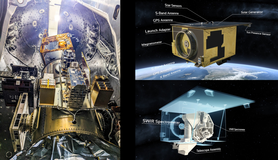
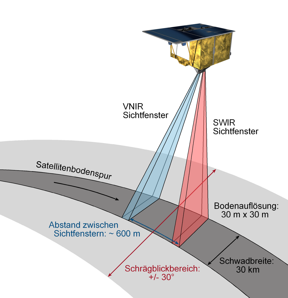
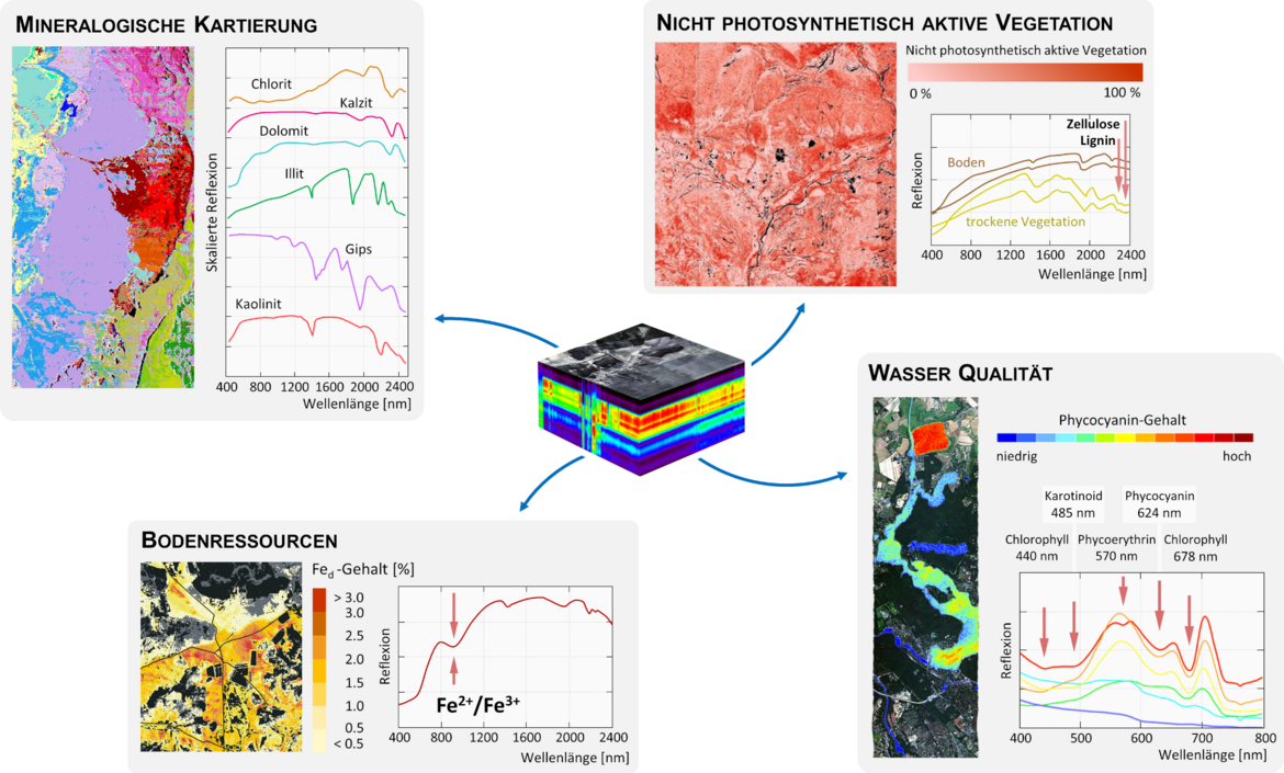
The heart of the EnMAP satellite is a hyperspectral instrument. It records the sunlight reflected by the Earth in more than 240 narrow spectral bands. They cover the wavelength range between 420 and 2450 nanometres, i.e. the entire spectrum of visible light (420 to 780 nanometres) and large parts of the adjacent near-infrared radiation. With these spectrally high-resolution data, the Earth can be observed in a previously unattained level of detail. Minerals or pollutants can be detected and identified, plants can be determined and their nutrient supply monitored, or the degree of pollution of bodies of water can be detected. EnMAP has a ground resolution of 30 metres and can record every point on the earth with a repetition rate of 27 days in a vertical view, which can be shortened to four days by panning.
Important facts and figures:
Start: 01. April 2022 on board a SpaceX Falcon 9 rocket from Cape Canaveral (USA)
Orbit altitude: 653 km
Seize of the satellite: 3 x 2,1 x 1,5 meter
Weight of the satellite: ca. 850 kg
Operational life-time: 5 years
Mission operation and command: German Space Operations Center GSOC Oberpfaffenhofen and Weilheim (DLR)
Data reception and processing: DLR Ground Station Neustrelitz, DLR Institut für Methoden der Fernerkundung (IMF)
Successful start: What happens next?
After the successful launch of the satellite - a good hour after the start of the rocket - the first signals were received from the ground station in Spitsbergen. In the firsttwo weeks, the satellite will be navigated into its final orbit - during the so-called LEOP (Launch Early Orbit Phase) - and prepared from launch mode for measurement operations. First, subsystems of the satellite that are essential for its general functioning are put into operation, then the measuring instruments. A first - still uncalibrated - test image will show whether the sensor basically works.
This will be followed by a commissioning phase of about six months:
The aim is to bring all devices and functional units on the satellite and in the ground stations into their nominal, i.e. productive, mode. An important point here is the calibration of the sensor, which is planned for the period from the end of April to mid-May. From then on, it will be possible to correct the EnMAP data. Field teams from the GFZ and our partners will take reference measurements in selected test areas from mid/late May, as soon as the EnMAP satellite flies over and records them. These data will be used to validate the quality of the sensor and the processors in the ground segment (DLR). The GFZ is responsible for the regular independent validation of the EnMAP data products during mission operation.
(Text + picture gallery revised: 06.04.2022)
Training for users:
Anyone wishing to use the satellite's data can obtain appropriate training in the extensive training programme developed by the GFZ and its partner institutions:
HyperEDU - A new online learning platform for hyperspectral remote sensing.
https://www.enmap.org/events_education/hyperedu/
Eo-College
https://eo-college.org/courses/beyond-the-visible/
Scientific Contact:
Prof. Sabine Chabrillat
Scientific Director of EnMAP
Group Leader in Section 1.4 Remote Sensing and Geoinformatics
Helmholtz Centre Potsdam
GFZ German Research Centre for Geosciences
Telegrafenberg
14473 Potsdam
Tel.: +49 331 288-1108
E-Mail: sabine.chabrillat@gfz-potsdam.de
Dr. Saskia Förster
Scientist in Section 1.4 Remote Sensing and Geoinformatics
Helmholtz Centre Potsdam
GFZ German Research Centre for Geosciences
Telegrafenberg
14473 Potsdam
Tel.: +49 331 288-28615
E-Mail: saskia.foerster@gfz-potsdam.de
Dr. Karl Segl
Group Leader in Section 1.4 Remote Sensing and Geoinformatics
Helmholtz Centre Potsdam
GFZ German Research Centre for Geosciences
Telegrafenberg
14473 Potsdam
Tel.: +49 331 288-1193
E-Mail: karl.segl@gfz-potsdam.de
Media contact:
Josef Zens
Head of Public and Media Relations
Helmholtz Centre Potsdam
GFZ German Research Centre for Geosciences Helmholtz Centre Potsdam
GFZ German Research Centre for Geosciences
Telegrafenberg
14473 Potsdam
Phone: +49 331 288-1040
Email: josef.zens@gfz-potsdam.de


![[Translate to English:] Hörsaal](/fileadmin/_processed_/e/6/csm_H%C3%B6rsal_f1d7c412b9.webp "[Translate to English:]")


