

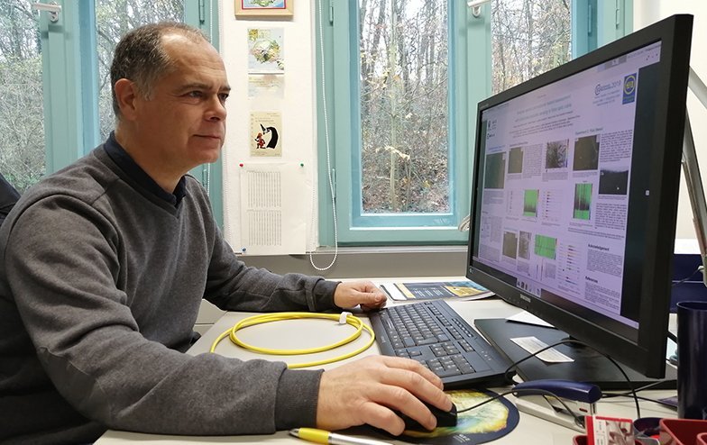
Philippe Jousset analyses Science study on "Distributed Acoustic Sensing" under water.
Faults – physical fractures in Earth’s crust – are a geological entity of wide-ranging relevance. Earthquakes are caused by movement of tectonic plates at faults, faults can convey important resources like mineral-rich fluids, oil, gas, and hot water to the Earth’s surface. Unfortunately, scientists do not yet know where all of Earth’s faults are located, especially when they reside under cities or the seafloor.
In the latest issue of Science Philippe Jousset, GFZ section Near-surface Geophysics in a 'Science Insights Perspective' analyses a breakthrough paper by a team of scientists around Nathaniel J. Lindsey from the University of California in Berkeley and the Lawrence Berkeley National Laboratory titled “Illuminating seafloor faults and ocean dynamics with dark fibre distributed acoustic sensing“. Science's 'Insights' section presents analysis by experts on issues of interest to Science readers. 'Perspectives' highlight recent exciting research and provide context within a field or explain potential interdisciplinary importance.
The paper describes the use of data generated by underwater optical fibres to discover previously unidentified faults in the seafloor. The method it uses is called “distributed acoustic sensing” (DAS) and is a relatively new one. It consists of probing a fibre optic cable with laser pulses and analysing the light that is reflected back in the direction from which it originated. This allows nearly continuous measurement of strain that results from passing seismic waves along several-kilometres-long fibres. These fibre optic cables are similar to those used for telecommunication and internet transmission.
Philippe Jousset is one of the pioneers in DAS research. In Iceland, he – together with a team of scientists and Dr. Thomas Reinsch – recently used DAS to map land faults at the Earth surface by using telecommunication cables. “Although DAS is rapidly finding new uses in a variety of disciplines, it is expected to make seminal contributions to geophysical studies as Earth’s unknown structural and seismological features can be probed with great accuracy”, Philippe Jousset writes in his 'Perspective' for 'Science Insights'.
The new paper by Nathaniel J. Lindsey and his colleagues could become one of these contributions. During the maintenance of the MARS submarine observatory – the Monterey Accelerated Research System in the Monterey Bay, California – Lindsey and colleagues connected a DAS interrogator to the fibre optic cable that is normally used for data transmission. The DAS interrogator send successive pulses of light in the fibre and analyses backscattered light. MARS was built and usually operates as an oceanographic instrument to measure various benthic and moored instrumentation. Most oceanographic instruments that reside on the seafloor have no connection with the land or sea surfaces, so they must run on batteries and store their own data. The MARS cabled observatory removes these restrictions by providing a power supply for the submarine instruments and transmitting their data to the surface through an optical cable.
“After 4 days of continuous measurement, the authors used the resulting strain data to map previously unknown faults and to hypothesize mechanisms for sources of the microseism”, Jousset writes. “One of the most exciting new features of the Lindsey et al. study is that the interrogated optical cable lies underwater. Earthquakes might occur deep in Monterey Bay, where little is known about fault locations.”
This might just be the beginning of a new research area. Other such underwater observatories, for example the European Multidisciplinary Seafloor and water column Observatory (EMSO), which has sensors in the Atlantic Ocean and the Mediterranean and Black seas, have great potential to fill out the blanks in fault mapping around the world. (ph)
Further information:
- Publication in Science
- Original publication Lindsey, N.J., Dawe, T.C., Ajo-Franklin, J.B., 2019. Illuminating seafloor faults and ocean dynamics with dark fiber distributed acoustic sensing
- Monterey Accelerated Research System (MARS)
- Cabled Observatory European Multidisciplinary Seafloor and water column Observatory (EMSO)


![[Translate to English:] Hörsaal](/fileadmin/_processed_/e/6/csm_H%C3%B6rsal_f1d7c412b9.webp "[Translate to English:]")


