

21.11.2014: The new project GeoMultiSens develops a Big Data system that can process and analyze remote sensing data in the petabyte range. This project is headed by GFZ section "Geoinformatics".
An agreement on this project was signed by the GFZ German Research Centre for Geosciences and the partner institutions Humboldt University Berlin and Konrad Zuse Institute Berlin. The innovative technology of GeoMultiSens supports scientists to understand complex processes of the Earth's surface, in particular those that are associated with global challenges such as climate change, population growth, and the loss of biodiversity. The project is funded by the Federal Ministry of Education and Research BMBF within the frame of the research grogramme "Management and Analysis of Big Data" in "ICT 2020 - Research for Innovations".
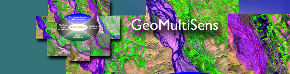
GeoMultiSens - Scaleable multisensoral analysis of satellite remote sensing data


![[Translate to English:] Hörsaal](/fileadmin/_processed_/e/6/csm_H%C3%B6rsal_f1d7c412b9.webp "[Translate to English:]")


