

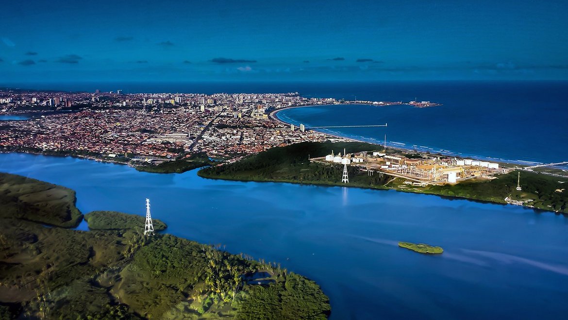
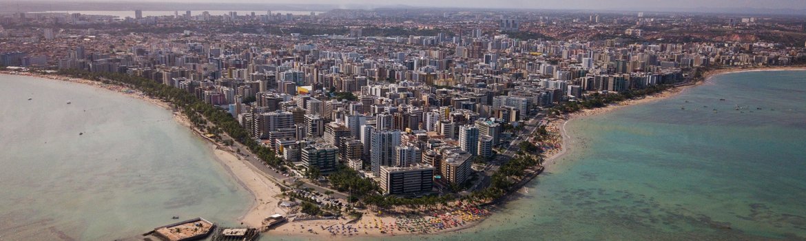
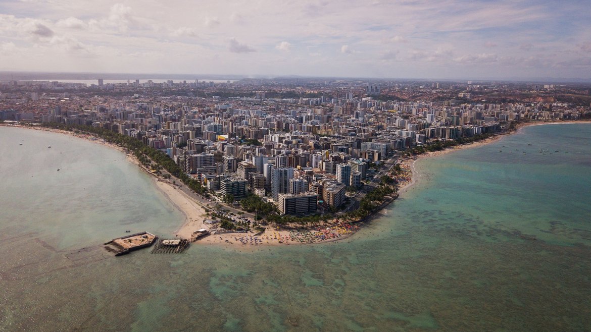
The Brazilian coastal city of Maceió, with more than one million inhabitants in the state of Alagoas, has been severely damaged by land subsidence. In the Pinheiro district in particular, houses are no longer habitable in many places with displaced walls and cracks on buildings and sidewalks being visible everywhere. These are consequences from processes that occur initially almost unnoticed, as a result of which the ground is gradually subsiding. Subsidence exists in many cities around the world, although its causes are often not adequately studied.
The course of subsidence in Maceió over the last 16 years has now been studied by scientists at the German Research Centre for Geosciences using satellite data. Magdalena Stefanova Vassileva, Djamil Al-Halbouni, Mahdi Motagh, Thomas R. Walter, Torsten Dahm and Hans-Ulrich Wetzel (ⴕ) investigated, among other things, when the subsidence started in the region and how the geological instabilities developed and affected the region in time and space. Their study also provided a good overall view of where the source of subsidence is located. The paper, "A decade-long silent ground subsidence hazard culminating in a metropolitan disaster in Maceió, Brazil," has been published in the peer-reviewed and open access journal Scientific Reports.
Causes of subsidence
Cities located in river deltas or coastal flatlands are particularly affected by subsidence because of their soil structure. When human intervention changes the pressure conditions in the subsurface, the soil can subside almost unnoticed in some places. In extreme cases, such as in Jakarta in Indonesia or Tehran in Iran, this can reach up to 30 cm per year. There can be various reasons for this.
One of the main causes is the enormous extraction of groundwater. Various conditions of underground structures in groundwater-bearing strata can also cause ground subsidence. Moreover, the immense surcharge of buildings can press on soils so that water is displaced from pore spaces, especially in the non-consolidated soils of coastal areas. Thus, they become compacted. Similarly, the excavation of the subsoil in mining operations can cause subsidence of the soil, which can be assumed in the case of Maceió.
Development of subsidence in Maceió
The city of Maceió is located in the Sergipe-Alagoas Salt Basin, which formed along the Brazilian coast during the South Atlantic Rift. The evaporite rock halite (NaCl) found there is widely distributed in continental regions. When fresh water penetrates halite layers, it quickly dissolves these rocks and forms cavities. Such areas are interesting for mining. Indeed, if water is injected through boreholes into underground deposits, salt can be extracted, whereby the salts dissolve and the resulting brine is pumped back to the surface. Since 1970, there have been a total of 35 such industrial brine extraction wells in the Mundaú Lagoon near Maceió. The salt mines there are located at a depth between 700 and 1000 meters.
Voids created by rock salt mining destabilize and mobilize the existing salt rock (halokinesis). At the surface, fractures to buildings, sidewalks, and roads have been intensified since early 2018, particularly in the Pinheiro neighborhood (approx.10,500 inhabitants), especially after a heavy rain event on February 15, 2018 and a small magnitude 2.4 earthquake on March 3, 2018. The Mutange and Bebedouro neighborhoods are also affected by ground subsidence. Rainwater also penetrates into existing fracture or fault zones and in this way increases the so-called secondary permeability, which in turn makes these soils more susceptible to erosion and contributes to instability. Due to the adverse effects of subsidence on infrastructures, salt mining was stopped in mid-2019.
To date, there are no geodetic measurements on which city officials could rely to quantify the extent of soil subsidence. Similarly, until recently, there were no historical and updated geodetic measurements that could provide insight into how severe the problems actually are.
For their study, the researchers have used a wide range of methods. They used multi-sensor SAR data from October 2003 to March 2020 for a multi-temporal DInSAR analysis (Differential Radar Interferometry/ SBAS technique) and geophysical modeling to model the evolution of the source. To test the underlying cause of the subsidence pattern, the scientists used 3D geophysical source inversion and 2D geomechanical simulations (2D distinct element modeling), each of which can simulate real salt cavities with their instability stages and corresponding surface displacements.
Result: Maximum subsidence is almost 2 meters
With the help of the satellite data, the researchers were able to reconstruct the history of subsidence. Results show that the subsidence started as early as 2004 and 2005. Since 2018, the rate of subsidence has noticeably increased to as much as 23-24 cm per year. The maximum observed cumulative subsidence was 2 meters (as of the end of 2020) and the maximum subsidence rate is estimated at 27 cm/year.
Horizontal ground movement has also occurred, from east to west. Scientists put this at 8 to 9 cm per year. Geophysical models have shown a horizontally stable source, upward fracture propagation, and a significant increase in volume change since 2016/17.
Geomechanical models showed good agreement of simulated subsidence with DInSAR measurements and likewise indicate upward fracture propagation, i.e., cracks propagating upward toward the shallower layers.
The extensive subsidence has been shown to be associated primarily with the removal of local, low-lying material at the location and depth where salt has been mined. Other explanations are unlikely. Based on the geomechanical models, in the event of a complete collapse of cavities in the subsurface, further subsidence of the ground by approximately one meter is expected. Sinkholes at the surface, on the other hand, are not to be expected, according to the GFZ scientists. Geological instability hazard maps have been created.
Methodologically, it can be concluded that InSAR analyses are extremely powerful when it comes to detecting geological instabilities and monitoring subsidence over time, especially in urban areas.
Original study: Vassileva, M., Al-Halbouni, D., Motagh, M. et al. A decade-long silent ground subsidence hazard culminating in a metropolitan disaster in Maceió, Brazil. SciRep 11, 7704 (2021). doi.org/10.1038/s41598-021-87033-0
Scientific contact:
Prof. Dr. Mahdi Motagh
Group Leader
Remote Sensing and Geoinformatics
Telegrafenberg
14473 Potsdam
Phone: +49 331 288-1197
Email: mahdi.motagh@gfz-potsdam.de
M. Sc.-Ing. Magdalena Stefanova Vassileva
PhD Student
Remote Sensing and Geoinformatics
Telegrafenberg
14473 Potsdam
Phone: +49 331 288-1765
Mail: magdalena.stefanova.vassileva@gfz-potsdam.de
Media contact:
Dipl.-Geogr. Josef Zens
Head Public Relations
Telegrafenberg
14473 Potsdam
Tel.: +49 331 288-1040
E-Mail: josef.zens@gfz-potsdam.de


![[Translate to English:] Hörsaal](/fileadmin/_processed_/e/6/csm_H%C3%B6rsal_f1d7c412b9.webp "[Translate to English:]")


