

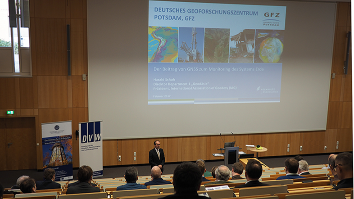
23.02.2017: Geodesy is the science of measuring the surface of the Earth. Today, an important tool is the use of Global Satellite Navigation Systems (GNSS). On 22 and 23 February, more than one hundred experts from theory and practice met for the GNSS seminar “Competence for the future” on Telegrafenberg, to exchange about newest developments.
The probably best-known GNSS application is the Global Positioning System GPS that is of use for every car driver. From a scientific perspective a current trend is the use of Multi-GNSS which is a combination of different GPS systems. Besides GPS satellites the Russian system Glonass as well as the Chinese Beidou and the European Galileo systems are included. Together, these systems are not only relevant for positioning but also for providing for example volcano or earthquake monitoring data. This combination of systems is possible because of a global network of data streams for real-time applications. The data are also widely used in flight operation and shipping.
Harald Schuh, host of the seminar and Director of the GFZ department Geodesy as well as Head of the section Space Geodetic Techniques, is very pleased about current developments in this field of research and the rapid technological developments: “soon, there will be about 130 satellites available for scientific use”.
The seminar was organized by the Geodesy Academy of the DVW (Deutsche Gesellschaft für Geodäsie, Geoinformation und Landmanagement e.V.) in cooperation with the GFZ. (ak)


![[Translate to English:] Hörsaal](/fileadmin/_processed_/e/6/csm_H%C3%B6rsal_f1d7c412b9.webp "[Translate to English:]")


