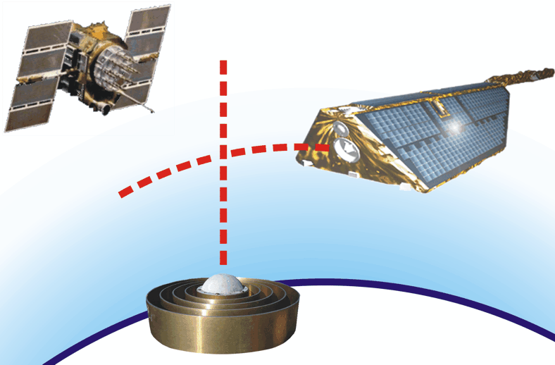
During the last decade ground- and space-based GPS (Global Positioning System) techniques for atmospheric sounding came up as a promising tool for global, permanent, weather-independent and calibration-free remote sensing of the Earth's atmosphere and ionosphere with high accuracy. The high expectations of atmospheric scientists all over the world were already satisfied by the demonstration of the GPS potential for various applications in weather forecast, climate research and for atmospheric/ionospheric investigations during the last years. But further progress is expected in the next years.
A highlight of the GPS data application was the begin of their continuous operational application to improve regional and global weather forecasts in 2006, already eleven years after GPS became a fully operational navigation system in 1995. It is expected that future long-term sets of the very precise atmospheric GPS data allow for the detection of climate trends. GPS based remote sensing techniques will further profit from the availability of the Galileo satellite navigation system in near future. Galileo will double the number of available transmitters for atmospheric sounding, and will enable qualitative improvements of the sounding accuracy, compared to the current GPS system. But also GPS will be modernized during the next years. The signals of the Russian GLONASS and of the Chinese KOMPASS (or BeiDou) satellites have also the potential to be used for atmospheric sounding, but are currently not significantly exploited for this purpose. Galileo, GLONASS and KOMPASS extend the term "GPS Atmosphere Sounding" to "GNSS Atmosphere Sounding". GNSS stands for Global Navigation Satellite System and includes all four mentioned systems.
Ground and satellite based GPS techniques for remote sensing were established in Germany within the GPS Atmosphere Sounding Project (GASP, 2000-2002). The project was financed from the former strategy funds of the Helmholtz Association of German Research Centers. Several Helmholtz centers were involved: AWI, DLR, GKSS and GFZ as the leading institution. Within GASP an appropriate operational infrastructure for GPS based atmospheric sounding was installed: data generation, transmission and analysis. The final report of the project results is available here. Current atmosphere sounding activities at GFZ cover a wide spectrum. Ground-based GPS data from a global and from regional networks are analyzed in near-real time. Resulting data products (zenith and slant total delay, integrated water vapor) are provided for the operational assimilation to regional weather models and for several scientific investigations. GFZ also supports temporary atmospheric measuring campaigns (e.g. COPS, CSIP, LUAMI, HYMEX) by the installation, operation and data analysis of GPS ground stations.
An example for the application of the atmospheric GPS data is a current research project related to GPS-Tomography, funded by DFG. GPS slant data from the German network (currently about 350 stations) are used to reconstruct 3D water vapor distributions. A second pillar of GFZ expertise in atmospheric sounding is the satellite based GPS radio occultation (RO) technique for precise vertical atmospheric sounding on a global scale. The GFZ spectrum here covers activities related to data processing, but also the application of the RO data for various scientific investigations. An example for the data processing is the provision of GPS RO data in near-real time for the continuous assimilation to improve weather forecasts at different national and international weather centers. Data of the the U.S.-German GRACE-A satellite and the German TerraSAR-X satellites are used for this purpose, which are supported by a joint research project from GFZ, ECMWF, DWD and Met Office. The recent near-real time status is overviewed here. Scientific investigations focus to the exploitation of the RO data for climatological investigations of tropopause and gravity wave characteristics, but also to detailed analysis of the occurrence of ionospheric irregularities. For these studies additional data from the U.S.-Taiwan FORMOSAT-3/COSMIC satellite mission are used. GFZ is embedded in a large network of national and international cooperations. The GFZ activities in GNSS atmosphere sounding is performed within the Helmholtz Research field "Earth and Environment", programme "Atmosphere and Climate" in close cooperation with KIT and FZJ
References
WICKERT, J., Ch. Reigber, G. Beyerle, R. König, C. Marquardt, T. Schmidt, L. Grunwaldt, R. Galas, T. Meehan, W. Melbourne, and K. Hocke: Atmosphere Sounding by GPS Radio Occultation: First results from CHAMP, Geophys. Res. Lett.,highlighted, 28, 3263-3266, 2001.
WICKERT, J., T. Schmidt, G. Beyerle, S. Heise, and Ch. Reigber: Global atmospheric sounding with GPS radio occultation aboard CHAMP, in: Flury, J., Rummel, R., Reigber, C., Rothacher, M., Boedecker, G., Schreiber, U. (Eds.) Observation of the Earth System from Space, pp 55-67, Springer Berlin Heidelberg New York, ISBN: 3-540-29520-8, 2006.
WICKERT, J., Michalak, G., Schmidt, T., Beyerle, G., Cheng, C.Z., Healy, S.B., Heise, S., Huang, C.Y., Jakowski, N., Köhler, W., Mayer, C., Offiler, D., Ozawa, E., Pavelyev, A.G., Rothacher, M., Tapley, B., Arras, C., 2008: GPS radio occultation: Results from CHAMP, GRACE and FORMOSAT-3/COSMIC. Terr. Atmos. and Oceanic Sci., 2009.
GENDT, G.; Dick, G.; Reigber, C.; Tomassini, M.; Liu, Y. Z.; Ramatschi, M. Near Real Time GPS Water Vapor Monitoring for Numerical Weather Prediction in Germany In: Journal of the Meteorological Society of Japan, 82, No. 1B 2004. 361-370 p, 2004.


