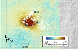
Study shows that the continuous discharge of industrial wastewater can trigger earthquakes in fault zones even after 10 years
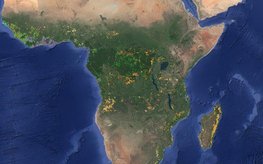
With satellite data and machine learning methods, it is possible to identify and locate 15 forms of land use – from the cultivation of various crops to pastureland and mining.
Under the motto “Broadening Horizons”, the international scientists will spend three months at the GFZ – funded by the Helmholtz Information and Data Science Acade-my (HIDA).
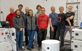
Organised by the GFZ Section 4.4 “Hydrology”, the community met to discuss the quality and potential fields of application of the new type of device, which can now also be used outdoors.
A year ago, the Earth shook in the Turkish-Syrian border region. The high number of victims was not expected. Q&A and relevant studies.
Harald Schuh retired. Maik Thomas succeeds him as Director of Department 1, Jens Wickert as Head (interim) of Section 1.1. Henryk Dobslaw becomes Topic 2 Director of the GFZ-Research Programme.
Liane G. Benning, Head of GFZ Section Interface Geochemistry, will be a member of the Federal Government's highest advisory body on overarching scientific issues for three years from 1 February.
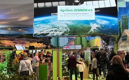
GFZ scientists presented their work on remote sensing technologies for digitalisation in crop production.
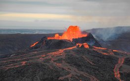
The analyses of the 2021 Iceland eruption shows: Machine learning and musicological methods can help to recognise precursors and phases of volcanic eruptions in seismic signals at an early stage
GreenGate Genomics offers bioinformatic solutions for complex microbiomes, fluxtec provieds high-resolution gas emission mapping and FOMON’s expertise is in structural monitoring with fibre optics.




![[Translate to English:] Portrait photos of four men](/fileadmin/_processed_/9/0/csm_20240129_quattuorychon_cd775f62a6.jpeg)
![[Translate to English:] Kollage mit Firmenlogos oben und dazu passenden Fotos unten. Die Fotos zeigen: Links – Ein Mann steht in Warnweste an einer menschenhohen Messstation neben einer Autobahn. Mitte – Gruppenbild mit 5 Menschen. Rechts – Ein Mann hockt in gelber Warnweste mit Firmenlogo auf einer Wiese und hat ein Messgerät in der Hand.](/fileadmin/_processed_/9/2/csm_20240119-Kachel_SpinOffs-2023_04034b35ea.jpeg)